10 Less Crowded
Shawnee National Forest Areas
for Different Activities!
Less crowded Shawnee National Forest areas are a big deal right now. With the current pandemic crisis and the need to Recreate Responsibly, less crowded Shawnee National Forest areas can help promote public health while also allowing us to really enjoy the outdoors. Getting outdoors in healthy and you shouldn’t have to fear it. So, I wanted to create this article on 10 less crowded Shawnee National Forest areas so that you can enjoy our National Forest with a sense of safety and good health in mind. Please feel free to comment without less crowded Shawnee National Forest areas that you would recommend.
Less Crowded Shawnee National Forest Hiking Area – Sand Cave
Sand Cave is a less crowded Shawnee National Forest area that allows for a really nice hiking experience. You can take a short hike (less than 1 miles) to the cave shelter and hike to the left of the mouth of the shelter to get some more length (out and back) or you can do the 6-mile Sand Cave Loop (maps available on Avenza) to get a more rugged hike in.
This area features tall bluffs, waterfalls and a large natural cave shelter. During the Underground Railroad movement, this location was used to resupply runaway slaves. The best time to hike this area is during the late fall and early winter when leaves are off the trees. During the warmer months, expect mosquitoes and ticks. Sand Cave is a natural area that may only be used for foot travel and day use. The loop can be used by hikers and horseback riders. There is a horse high-line located near the cave shelter.
The trailhead for Sand Cave is located at the end of Sand Cave Road off of Cedar Grove Road near Eddyville, Illinois. There are enough spaces for a few vehicles at the trailhead. Please do not block driveways as people do live out there.
Learn more about hiking in the Shawnee National Forest by joining the Facebook Group, Southern Illinois Hiking & Outdoor Recreation.
Less Crowded Shawnee National Forest Kayaking Area – Dutchman Lake
Dutchman Lake can serve as a wonder less crowded Shawnee National Forest area for kayaking and canoeing. This 118-acre lake is managed by the US Forest Service and offers a versatile experience to lake users including kayaking, canoeing, boating and fishing. There are various hiking and horseback trails around the lake including a section of the River to River Trail.
The lake is relatively clear and stocked with bluegill, crappie, bass and catfish. There is a gravel road with adequate parking space at the lake. There is a boat ramp provided at the lake as well. Once a developed recreational area, Dutchman lake is still managed by the Forest Service but appears to be mostly abandoned. This makes it a very good choice for kayak/canoe options where large crowds are not gathering.
The boat ramp is located near the US Forest Service trailhead sign off of Fishing Hole Lane north of the town of Vienna, Illinois. The road to the lake is gravel with some potholes but all vehicles should be able to drive down the road. The parking area for the lake is located at the end of Fishing Hole Lane. Illinois fishing licenses and watercraft permits are required when visiting bodies of water in the state.
Learn more about kayaking in the Shawnee National Forest by joining the Facebook group, Southern Illinois Kayak & Canoe Club.
Less Crowded Shawnee National Forest Biking Area – Tunnel Hill to Parker City
Located on Illinois Department of Natural Resources land but close to the Shawnee National Forest is the 45-mile Tunnel Hill State Trail. This rails to trails path caters to cyclists, runners and walkers of all types all year long. The two most popular sections of the trail include Vienna to Tunnel Hill and Vienna to Karnak. The Tunnel Hill to Parker City sections provides for a less crowded Shawnee National Forest biking experience and is full of different things to see and enjoy.
The Tunnel Hill to Parker City route consists of about 8 miles of biking. You can continue north to gain more mileage if you wish to. The route will go downhill with a nice climb back up on the way back. This is an out and back bike trail. Along the way, you will see scenic creeks, bluffs and remnants of Parker City, a now ghost town of the former railroad communities that were once very populated before the coal industry fell. The path is suitable for hybrid-style and mountain bikes as it is made up of crushed limestone. There are several benches along the way for this section.
The trailhead for Tunnel Hill is located in the village of Tunnel Hill, Illinois off of Tunnel Hill Road near Lake of Egypt and Goreville, Illinois. There is adequate parking available at this location. Bike racks, water, picnic tables, restrooms and information signage are available at the trailhead. There is no fee to use this trail.
Learn more about biking at Tunnel Hill State Trail by joining the Facebook group, Tunnel Hill State Trail.
Less Crowded Shawnee National Forest Equestrian Area – White Oak Trail
Looking for a trail for less crowded horseback or mule riding? I recommend the White Oak trail system near Pine Hills on the western side of the Shawnee National Forest. This trail is an out and back trail that consists of about 4-6 total miles. There is a faint trail along this path that claims it will also take you to Hutchins Creek. I’ve never taken it because the trail isn’t in very good shape. The signage is a bit off. Most mileage written on the sign is about a mile off – so keep that in mind.
White Oak trail starts on top of Pine Hills Road at a trailhead with space for a few cars. You could park a trailer on the side of the road safely. The trail continues to Pine Hills Campground with more parking availability. Rest rooms are available at Pine Hills Campground. The trail itself consists of rolling hills along ridgelines, some bluffs, Ozark-like creeks, virgin growth trees and left-over remnants of the former Civilian Conservation Corps (CCC) camp that was once in the area.
To access the trailhead, take Pine Hills Road from State Forest Road near Wolf Lake, Illinois. The road is gravel and narrow in some areas. Recent constructions have allowed Pine Hills Road to reopen completely. There are several beautiful overlooks along the upper portion of the road. The trail is best used during the fall and winter and may be overgrown during warmer months.
Learn more about horseback riding in the Shawnee National Forest by joining the Facebook group, Shawnee National Forest on Horseback.
Less Crowded Shawnee National Forest Mountain Biking Area – Lake Glendale
If your looking for a less crowded Shawnee National Forest area for mountain biking, Lake Glendale is the place you need to go! Lake Glendale offers a large number of trails maintained by the local mountain biking community. This area is also undergoing potential official designation for mountain biking trails in the Shawnee National Forest. The area can be used by mountain bikers with various different biking experiences and abilities.
The multi-user trails around Lake Glendale and to Dixon Springs State Park are popular for use by mountain bikers. Many of them are well-maintained by the mountain bike community and Shawnee Mountain Bike Association, the true organization that advocates mountain biking in the Shawnee National Forest. This area was once used for the Fat Tire Mountain Bike Festival which is now hosted at Camp Ondessonk.
To reach these trails, take Lake Road from Highway 145 near Glendale, Illinois. Continue on the road to the Cardinal Bay Boat Launch parking area. There is a lot of parking availability here. The trail is close to the lake. Please note that hikers and walkers also use this trail. Mountain bike users should yield to all other traffic and ensure that we follow the rules.
Learn more about mountain biking in the Shawnee National Forest, join the Facebook group, Shawnee Mountain Bike Association.
Less Crowded Shawnee National Forest Gravel Riding Area – Pine Hills
Gravel bike riding is becoming a very popular outdoor recreational activity these days. Gravel biking takes the adventure of mountain biking and the comforts of road biking and combines the two for an adventurous experience. The Shawnee National Forest and southern Illinois as a whole is full of gravel roads that are perfect for this form of cycling. And best of all, its completely legal and no designation is needed. So, no need to worry about an organization that pretends to support biking trying to dismantle it like we have to deal with in mountain biking…
The Pine Hills to Pomona area of the Shawnee National Forest is the perfect area for gravel riding with a less crowded experience in mind. Upper Pine Hills Road offers miles of gravel with some awesome elevation to boot. There are numerous gravel roads in the area to take all the way to the Pomona area if you wanted to add more miles. Many of these gravel roads are completely surrounded by the National Forest too giving you some awesome views.
To access this area, consider driving to Pine Hills Road from LaRue Road/Muddy Levee Road off of Route 3 near Wolf Lake, Illinois. You can park at the North Trailhead for Snake Road or at the many parking areas along Pine Hills Road. Pine Hills Road is now completely opened, and the washout areas have been fully repaired.
Learn more about cycling in the Shawnee National Forest by joining the Facebook group, Southern Illinois Cycling.
Less Crowded Shawnee National Forest Nature Viewing Area – LaRue Pine Hills
LaRue Pine Hills (Snake Road) is a wonderful spot for nature viewing during that non-migration periods for snakes. Some call this particular area one of the most diverse spots in the whole country. Seriously, there are so many different species of snakes, wildlife, plants, wildflowers and even native pine trees. Whether you are into herping, birding, mushroom hunting, nature viewing or wildflower identification – LaRue Pine Hills is for you!
This 2.5 mile out and back hike is on a gravel forest road. It is better to hike it but you can also drive down it as long as the snake migration isn’t occurring. During the two annual official migrations, you can expect the area to be very busy especially on the weekends. But non-migration seasons allows for a less crowded Shawnee National Forest experience along this awesome forest road.
To access LaRue Pine Hills, take Muddy Levee Road from Route 3 near Wolf Lake to the T and turn right (south). The next right (within seconds after turning) is the trailhead. The road that continues south is the forest road. Wear insect repellent during warmer months. Please watch your step as snakes are present including three venomous snakes of Illinois (copperhead, cottonmouth and timber rattlesnake).
Learn more about LaRue Pine Hills by joining the Facebook group, LaRue Pine Hills Snake Road.
Less Crowded Shawnee National Forest Scenic Overlook Area – Christmas Star Overlook
Garden of the Gods Observation Area has been so popular lately that the Forest Service has had to close it off to new visitors to help control group activity. It is true when they say it is the most Instagram’d area of the Shawnee National Forest. Avoiding the huge crowds of this area can not only ensure the safety of public health but also avoid ruining your trip if the area is closed off because the capacity has been reached. Luckily, Garden of the Gods is full of different alternatives. Like Christmas Star overlook for example.
Christmas Star Overlook requires a few miles of hiking with some rolling hills, but it is often considered one of the best views in the Garden of the Gods area. A Christmas Star is nailed up to a tree by horseback riders giving the area its name. You can see practically the entire wilderness area of Garden of the Gods and its right on the River to River Trail. This is a favorite place among photographers for capturing the fall colors of the region. It is worth the visit but if you cannot hike that much, Upper Pine Hills Road near Wolf Lake offers many different overlooks which you can drive to. Inspiration Point will likely be packed, though.
To get to Christmas Star Overlook, take 34 into Herod, Illinois and turn north near the Post Office onto Gape Hollow Road. In a few miles, the Hitching Post/Eagle Creek trailhead will be to your left if heading north. Park there and be mindful of horse trailer access. Hike across the street onto the River to River Trail and continue for a few miles. The overlook will be obvious as will the Christmas Star. Please use extreme caution in this area as the bluffs are very high and cell phone data is very limited here.
Learn more about scenic overlooks in the Shawnee National Forest by joining the Facebook group, Southern Illinois Hiking & Outdoor Recreation.
Less Crowded Shawnee National Forest Waterfall Area – Jackson Hollow
The Shawnee National Forest is full of unique and awesome waterfall spots. However, the most popular ones are usually filled with large groups. Avoid these areas by seeking out the less crowded Shawnee National Forest waterfall destinations and you will still be amazed. It is important to note that all waterfalls in the Shawnee National Forest significantly rely on rainfall. If the region has been dry, the waterfalls will likely be dry. If wet, the waterfalls are running. Please use caution when chasing waterfalls as fall conditions significantly increase. Each year, people die from falling in the Shawnee National Forest – please don’t become one of these statistics.
Jackson Hollow is a great place to chase waterfalls in the less crowded Shawnee National Forest. Aside from the awesome bluffage you will see, there are multiple large to small waterfalls along the bluffs of Jackson Hollow. This ecological area may only be traveled by foot as motor vehicles, bikes and equestrian travel is strictly prohibited. There are no official trails here, but most user-made trails should be easy to follow. The ideal is to stick close to the bluff line to see the best waterfalls.
To get to Jackson Hollow, take Ozark Road towards Jackson Falls area. Turn onto Trigg Tower Road before getting to the Jackson Falls turn if travelling from Ozark, Illinois. Take Trigg Tower Road for a few miles until you see the Jackson Hollow Ecological Area sign on your left. Park on the side of the road without restricting traffic flow. Look for the barrens area near the sign and go into the forest from there. Stay along the bluff line to start seeing waterfalls. Go as far as you wish to go!
Learn more about waterfalls in the Shawnee National Forest by joining the Facebook Group, The Waterfalls of Southern Illinois.
Less Crowded Shawnee National Forest Swimming Hole Area – Hutchins Creek
Hutchins Creek is on the west side of the Shawnee National Forest in an area of southern Illinois where the Missouri Ozarks likely extends. This rock bed creek borders the middle of two wilderness areas of the Shawnee National Forest including Clear Springs Wilderness and Bald Knob Wilderness. During non-flooding conditions, this creek is an excellent area to find small swimming holes and wading puddles for a nice relaxing crowd-free experience. The less crowded and best part of the creek will require total of 12 miles of hiking out and back ensuring that it remains virtually free of crowds. There are easier ways to get to the creek, but those areas could be inhabited by more people.
Hutchins Creek is a wild and scenic river candidate. Some claim that areas of the creek may be spring fed. When not running, the small pools of water along the creek are often spring-like blue in color and very clear. There is former settlement along this area and quite a few hiking trails. The biggest and most impressive looking canebrakes that I have ever seen are in this area. The River to River Trail crosses Hutchins Creek. It is very worth seeing for yourself if you never have!
To easily get to the creek, Hutchins Creek Road (south) from State Forest Road is recommended. The northern portion of the road is on private property. The bridge is out and will likely stay out. The less crowded method is to start at either the Clear Springs Wilderness Trailhead or the Bald Knob Wilderness Trailhead and remain on the River to River Trail until you get to the creek which will be obvious. During rainy seasons and flooding conditions – the creek can be very deep and dangerous.
To learn about even more less crowded Shawnee National Forest areas and spots, please see the Hiking with Shawn YouTube page for over 550 videos and subscribe to show your support.
Thank you for taking the time to check out my 10 Less Crowded Shawnee National Forest areas article. I hope this article gives you ideas for your next less crowded adventure. As a word of caution, please put safety first before all else when visiting these areas and make sure you bring a friend and tell others where you are going. Some sort of navigational tool is highly recommended as cell phone data in these areas are often limited to none. Find Hiking with Shawn on Facebook, Twitter, Instagram and YouTube for more exclusive content, videos and photos. Consider buying a t-shirt from my Official Merch Shop. Thanks again for stopping by and until next time, I’ll see you on the trail!
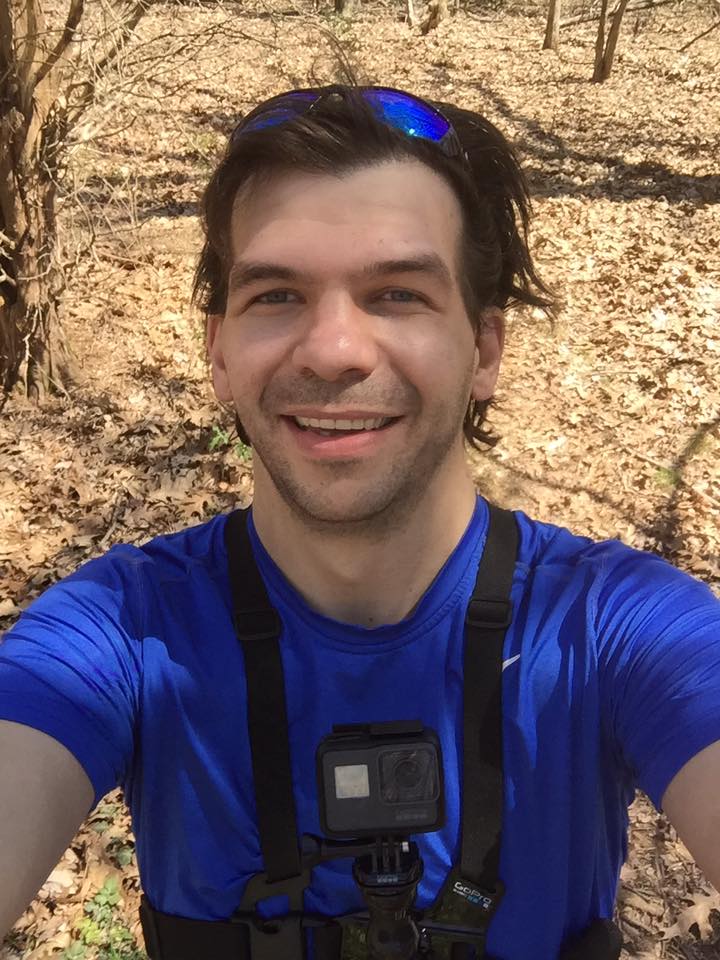
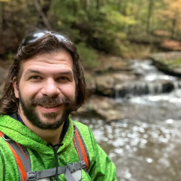
Shawn J. Gossman
Host
Shawn is the founder and host of the YouTube Channel, Hiking with Shawn as well as Hiking with Shawn LLC. Shawn hikes, backpacks and visits various forested areas in the Shawnee National Forest, local state parks and other areas promoting outdoor recreational activities to obtain video to show to locals and non-locals alike. Please support Shawn’s efforts by sharing this post and leaving a comment below.
Love this article! The bestie & I are all over the Shawnee & R2R trail. I can’t wait to explore Hutchins Creek area.
Super helpful post! So do you know if Pine Hills Rd from Wolf Lake up to Inspiration Point is gravel or paved? I have seen it labeled both ways on maps. I am planning a biking loop from the Bald Knob area through Pine Hills. We have touring bikes with knobby tires, and hoping to spend much of our time on forest service gravel. Thanks!
Pine Hills Road is gravel. Do note that the current lower section that is known as Snake Road is closed for snake migration. Foot traffic only. Bikes and vehicles are prohibited.