Camp Cadiz Road Video Guide

We recently hiked a section of the Camp Cadiz Road near Camp Cadiz. We also hiked along an older historical section of the River to River Trail. We got to see quite a bit on this hike and also face quite a few challenges.
What You’ll See along the Camp Cadiz Road
For the most part, hiking this route is a nice walk in the woods with some rolling hill terrain, but there are a few other things to see.
- There are some scenic creeks and smaller bluffs along this route, especially once you get on the old River to River Trail portion.
- There is a cool, abandoned cemetery at the end of the main Camp Cadiz Road, featuring several graves, including a large tombstone.
- There are a few homesites out there worth exploring during the winter months when all the weeds are down and the ticks are gone.
Quick Facts About this Hike
Trail Name: Camp Cadiz Road and R2R Trail Loop
Distance: 7.4 miles, user-created (using established trails)
Time: 5 hours
Difficulty: Moderately Rugged
Parking: Google Maps Link
Pro Tip for Hiking the Camp Cadiz Route
Don’t do this hike in the late spring, summer, or early fall. It will be overgrown in many spots with weeds as tall as your chest. The vegetation is full of seed ticks, briers, and poison ivy. This hike would be best done during leaf-off in the winter months.
Related Guides for this Area
Before You Go…
If you enjoyed this blog post and video, consider supporting me in publishing more content by becoming a member of my Patreon Community. You get more exclusive content from me, and you get to help support me. I hope to see you on Patreon!
Please let me know in the comments what you thought of this video and the area we explored.

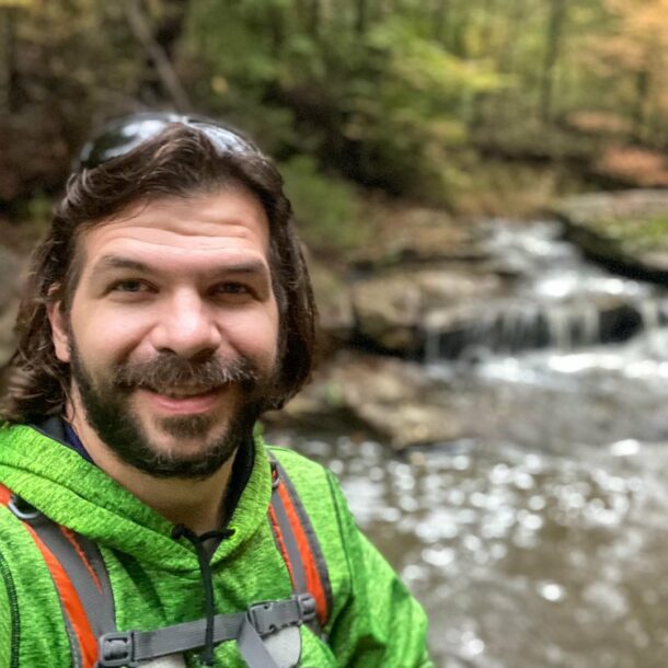
Shawn Gossman
Founder, Hiking with Shawn
Howdy folks! My name is Shawn Gossman and I founded Hiking with Shawn. I’m an avid hiker, cyclist and outdoorsman here in the Shawnee National Forest. I was born and raised in Southern Illinois and never want to leave. Click here to learn more about Shawn Gossman