How I Find
Waterfalls
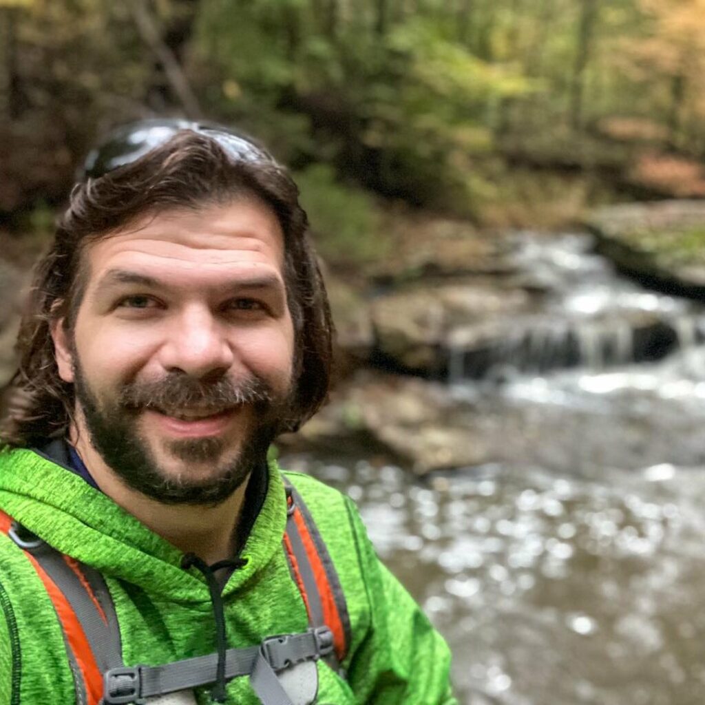
Hiking with Shawn
Trail Journal
Have you ever wondered how I find waterfalls throughout the Shawnee National Forest?
Welcome to another Trail Journal, where in this edition, I discuss my tactics on how I find waterfalls throughout remote areas of the Shawnee National Forest.
I want to show you my tradecraft, so you can also start looking for them. But first things first, I need you to promise me that you will put safety first. You can be seriously injured and even die around waterfalls if you’re not placing safety before anything else. People already have – don’t become a statistic.
Let’s move on to how I find waterfalls throughout the Shawnee National Forest and how you can too!
The Software I use to Find Waterfalls in the Shawnee
I use an application for my iPhone called OnXHunt. It is also available for other smartphones with other operating systems.
OnXHunt is a property boundary app with map-reading features such as topo and contour lines. OnXHunt is not free. I pay roughly $30 a year for the Illinois map. You pay more for each state you choose. There may be a plan to get all states. I’m not sure because I only use it for Illinois.
There are four main reasons why I use OnXHunt. Those reasons are:
- Because I paid for the app, it will be updated regularly.
- It allows you to download different map resolutions to be viewed in areas without cellphone data coverage.
- It shows public land and private property boundaries to keep me from trespassing on private property. Plus, it shows who owns the private property.
- It has map-reading features such as terrain, topography, and contour lines. There are plenty of other layers and components, too.
OnXHunt is my main app for how I find waterfalls in the Shawnee because it has all the features I need to be able to do it.
You can use an application, a dedicated GPS unit, or a paper map/compass setup. It would help if you got an understanding of how to read maps.
I prefer a smartphone app because it’s convenient for me.
How I Read Maps to Find Waterfalls in the Shawnee
Reading the map on OnXHunt is where the fun part comes into play.
First, I ensure the Basemap setting is on “Topo.” This allows me to read the topography features of the map area I wish to investigate.
Contour lines on a map indicate ground elevation or depression. This is how I find bluffage on a map. OnXHunt also shows a 3D-like model indicating that bluffage could exist. But sometimes, it turns out to be just steep rocky hills.
So, when looking at contour lines on a map, I’m looking for space between each line. The tighter the space (the closer the lines are together), the steeper that side of the hill will be. They won’t be as steep if the lines have larger spaces between the tighter contour lines going against a bow or a point like that of this symbol “>” or a backward “C,” then that area may indicate a waterfall.
However, I often look for one more critical piece of the puzzle!
If a creek is on the inner side leading to the point like this “- – – >” (dashes are the creek, > is the point with tight contour lines), then most of the time, it’s a waterfall.
However, only some creeks are on topography maps. Some creeks are merely branches of other main creeks. Some creeks don’t even have names. In that case, I look for the tight contour points of areas where a creek line can be seen. You find many of these along Hutchins Creek, where erosion has created an additional branch, some with waterfalls.
I’ve attached two map samples below. One is a waterfall I found near Bell Smith Springs. There is no trail to it. I just read the map and figured I’d find a waterfall. I found one. It was a smaller fall but a nice fall, nonetheless. The second map sample is a waterfall many of you have already been to – burden falls. They give examples of tighter contour lines going into V-like patterns with creeks flowing through them.
How I Find Waterfalls in Remote Areas of the Shawnee
If you watch my videos and follow my hiking adventures, then you’ll notice that I find waterfalls in areas where most people don’t go.
This is another feature that I use on OnXHunt. I find tracts of Shawnee National Forest land that are “off the beaten path” but have some public access. Usually, the access is a road. Some areas only have a small area to access, like Avery Hollow in Pope County.
Avery Hollow itself is disputed by one of the nearby landowners who claim there is no public access. However, the map reads slightly that there is. It is one occasion where I have seen it, but I will probably not go back because the land is in an access dispute. And with that being said, some areas of the Shawnee are entirely landlocked in the middle of private property. And there is nothing we can do about that other than asking property owners permission to access the land. You can’t trespass to access public land; I respect that right. But feel free to ask – the worst thing is they say no.
I use OnXHunt to find areas of “off the beaten path” Shawnee adjoined with a road. I then visit those areas using the app when I feel waterfalls or bluffage may be accessed within those tracts of land. Usually, I am correct in my assumptions.
Now here is the kicker about all this. These small tracts of land don’t usually have trails. The trees and vegetation are often thick in the warmer months. It is easy to get lost if you do not understand map reading. There is usually private property around the area. While Forest Service does an excellent job signing boundaries, there aren’t always signs indicating it. You might be trespassing and not even know it. Sometimes, OnXHunt isn’t accurate. I try to avoid the edges of boundaries as much as possible to ensure that I don’t trespass.
Hiking in these areas isn’t for everyone. Be sure you practice hiking safety measures when exploring remote areas to find waterfalls in the Shawnee National Forest.
And that sums up how I find waterfalls in the Shawnee National Forest. I want to make sure everyone knows that OnXHunt is not a sponsor. I heard about the app from a hunter around Lusk Creek a few years ago and decided to check it out. After that, I fell in love with it. It is mainly made for hunters, but I also use it for remote hiking and waterfall stuff. If you have enjoyed this article, consider subscribing to my free newsletter to get monthly exclusive articles and other goodies. You can unsubscribe anytime!
Please Support Hiking with Shawn
Alrighty folks, I hope you have enjoyed this content. I provide it for free and it takes a while to create. If you would be so kind enough to support my efforts, you can do so by sharing this post with others, especially on social media. Be sure to subscribe to my YouTube Channel to see my latest videos, shorts and live streams. Follow me on Facebook, Instagram, and Twitter for unique content that you will only find on those pages. You might also join my Southern Illinois Hiking & Outdoor Resources Group on Facebook, too!
You can also support me by becoming a Patreon Supporter for as little as $3/month and you can cancel anytime (no contracts or catches). Patreons get access to extra features, exclusive articles, sticker packs, gifts and more. Consider buying official Hiking with Shawn Merchandise as another way to support me. I spend a lot of money on Hiking with Shawn and because of extremely high public land permit fees, I make very little money in return so everything helps.
Thanks again for checking out another one of my articles and until next time, I’ll see you on the trail!
Shawn Gossman
Founder, Hiking with Shawn
Shawn Gossman, known regionally as Hiking with Shawn, is the founder and senior editor of this blog. Shawn has been hiking the Shawnee National Forest for over 15 years. Shawn is a Southern Illinois native and very active in the local tourism community. Learn more about Shawn here.