Finding Abandoned Places in the Shawnee National Forest
A Recap of Last Week’s Hiking with Shawn Episodes!
I’m always finding abandoned places in the Shawnee National Forest.
And in today’s first-ever article of my new “Weekly Recap Series,” I will recap last week’s longer videos and talk about finding these abandoned places. This new series will cover the last three videos uploaded to the Monday, Wednesday, and Friday slots. If you’re not a subscriber to my YouTube channel yet, please subscribe today!
How I go about Finding Abandoned Places in the Shawnee National Forest
I use various methods for finding abandoned places in the Shawnee National Forest.
I use visual clues and a few different map apps on my phone.
For the visual clues, I look for large gnarly-looking trees.
The trees are typically way different looking than any others around. These are often labeled as Wolf Trees. They’re older-growth trees, likely planted or untouched when early pioneer settlers arrived in the region. Most of the trees in the Shawnee National Forest are all second growth meaning they were planted in the 1930s and up when the area was turned into a National Forest.
I also look for daffodils when they’re in bloom. They are a sure sign that previous homesites, farms, and settlement sites are around.
Once I suspect an old homesite is around, I start looking for a well and foundation or cornerstones that were used for the foundation. Most of the wells are open and filled with water. You need to be careful around them. Falling into one could be extremely hazardous.
There are many open wells scattered around the Shawnee National Forest. It’s too expensive to fill them in, and the ones on wilderness ground would be too hard to fill in since motor vehicles can’t get in with material.
So, you just have to use common sense instead and be careful.
I use a combination of different apps on my iPhone for mapping clues. I use Gaia Maps to use a 1930s overlay. This overlay shows old roads, train tracks, schools, churches, and homesites. The homesites are little squares. The map alignment isn’t very accurate, but I’ve got good at finding abandoned places in the Shawnee National Forest without perfect alignment.
I also use OnX Hunt for my phone. This allows me to read the area’s topography to better decide how I will get to the homesite areas. It also shows me private/public property boundaries, which is important to me.
Don’t trespass on private property unless you have permission.
Just to be cautious, most of these sites are in rugged areas. The old roads that led to them are not maintained because they’re old wagon roads. They’re grown up, blocked by down trees, and often hard to even track. It’s not always easy finding abandoned places in the Shawnee National Forest.
If you search for them, just please tell someone where you’re going and put safety before anything else, no matter what.
Weekly Recap of Previous Hiking with Shawn Videos
Here’s a weekly recap of the three previous Hiking with Shawn videos featuring Michelle and me finding abandoned places in the Shawnee National Forest on the region’s east side.
Blackman Creek Bushwhack – Part 2
Blackman Creek is a section comprising a couple of tracts of Shawnee National Forest in Pope County near Oak Road.
The GSP Coordinates to this area are 37°36’45.6″N 88°31’40.8″W
We parked on the side of the road and went into a tract of the Shawnee National Forest that did not start with a trail. There were so many trails, but we don’t know where they started or led to. Most of our hike was off-trail.
A property boundary app is needed to find this area’s public land portions and avoid trespassing on private property. We use OnX Hunt, which is not sponsored.
We found a few different abandoned homesites and a large wall. The wall was made by early settlers, most likely. There was no obvious indication that it was a Stonefort created by Native Americans.
Aside from that, the area had some interesting bluffs, creeks, cascades, and a diverse forest.
We even found old dump sites from the back before it was turned into a National Forest.
This area is rugged to hike. If you hike it, I recommend doing it during leaf off. That particular area may contain rattlesnakes.
Check out the trail gallery!
Enjoy these photos taken around this area!

Blackman Creek

Interesting Rock Formation

Old Settlement Wall

Blackman Creek Cave
Watch the videos for this trail!
Below is a recent video that we filmed while enjoying this area.
Parkinson Mine in the Shawnee National Forest
Parkinson Mine is a section of Shawnee National Forest that goes towards the old Golconda Job Corps complex.
The GPS Coordinates for this area are 37°27’30.9″N 88°25’43.4″W
WARNING: We did not go to Golconda Job Corps. That area is off-limits and restricted. Alarms are in place, and law enforcement will respond if you trespass on that property.
We parked right under the bridge as there is a road down to it where people typically park and fish at.
The abandoned portion of this old mine is right where you park. There is an old structure of some kind. My mines overlay map said the area is called Parkinson Mine. It is a former fluorspar mine. You can find fluorspar along the road (especially in the exposed rock at the power line right-of-way) and around the old structure where you park around.
Other than that, it’s a rugged forest with old deer stands and a few old homesite locations where an open well is all that’s left.
This area has a small creek running through it. You can expect large amounts of stinging nettle and significant canebrakes during summer. I would not recommend hiking it during the summer. We went during leaf off, and it was still very difficult to hike through all of the cane.
Check out the trail gallery!
Enjoy these photos taken around this area!

Daffodils Not Quite Blooming

Fluorspar Rocks

Parkinson Mine Leftovers

Wild and Scenic Creek
Watch the videos for this trail!
Below is a recent video that we filmed while enjoying this area.
Abandoned Cemetery and Ghost Town in Shawnee National Forest
This area is called Reddick Hollow, and it’s located in a very remote section of the Shawnee National Forest in Pope County.
The GPS coordinates of the cemetery are at 37°25’27.2″N 88°32’22.0″W
We were finding abandoned places in the Shawnee National Forest all over this area before we found Reddick Hollow, which only added to the list.
Aside from the cemetery, we found old homesites and rock wall structures. Pioneer settlers likely created these. Some of the homesites had decorative features and very visible foundations. You could also easily tell what old wagon roads were out there.
It was a fun experience with many nice scenic bluffs and creek spots to boot.
We definitely plan to go back and explore more during the leaf-off season.
Most of the travel was off-trail, and it was exceptionally rugged.
Check out the trail gallery!
Enjoy these photos taken around this area!

Old Broken Headstone

Reddick Hollow Cemetery

Scenic Bluff Area

Old Homesite Well
Watch the videos for this trail!
Below is a recent video that we filmed while enjoying this area.
And that concludes my latest video recap and the first article of this series. I hope you enjoyed this article. Please comment if you like this particular series; I’ll keep it up. You can support me by sharing this article with others, especially on social media. You can also donate to me if you’d like. Be sure to subscribe to my free newsletter for more hiking tips and resources that you won’t get anywhere else but my newsletter.
Please Support Hiking with Shawn
Alrighty folks, I hope you have enjoyed this content. I provide it for free and it takes a while to create. If you would be so kind enough to support my efforts, you can do so by sharing this post with others, especially on social media. Be sure to subscribe to my YouTube Channel to see my latest videos, shorts and live streams. Follow me on Facebook, Instagram, and Twitter for unique content that you will only find on those pages. You might also join my Southern Illinois Hiking & Outdoor Resources Group on Facebook, too!
You can also support me by becoming a Patreon Supporter for as little as $3/month and you can cancel anytime (no contracts or catches). Patreons get access to extra features, exclusive articles, sticker packs, gifts and more. Consider buying official Hiking with Shawn Merchandise as another way to support me. I spend a lot of money on Hiking with Shawn and because of extremely high public land permit fees, I make very little money in return so everything helps.
Thanks again for checking out another one of my articles and until next time, I’ll see you on the trail!
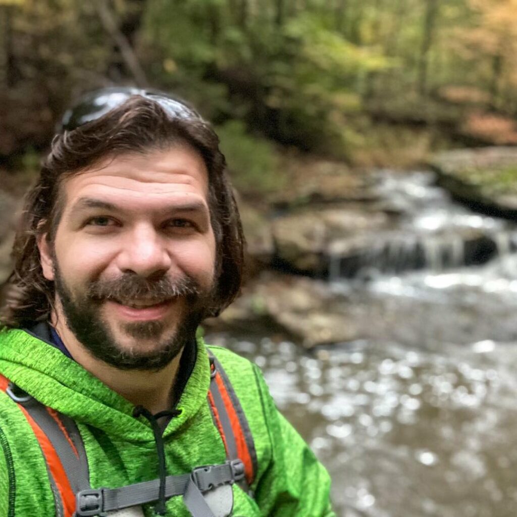
Shawn Gossman
Founder, Hiking with Shawn
Shawn Gossman, known regionally as Hiking with Shawn, is the founder and senior editor of this blog. Shawn has been hiking the Shawnee National Forest for over 15 years. Shawn is a Southern Illinois native and very active in the local tourism community. Learn more about Shawn here.