Shawnee National Forest
Iron Mountain
Hiking
Guide
Have you ever been to Shawnee National Forest Iron Mountain? No, I don’t mean Iron Furnace, either. Shawnee National Forest Iron Mountain is located between Anna-Jonesboro and Alto Pass here in southern Illinois. This Union County gem features the Kaolin Pit Mine. Kaolin may sound familiar to you, as it should. Kaolin is the name of not just the now Ghost Town but also of the white clay that was mined at this located in the 1800s. This white clay was used to create Anna Pottery, which is world-famous and usually worth a small fortune if you have pieces in excellent condition. And best of all, this area is owned by the US Forest Service in Shawnee National Forest. So, keep reading this article to get a tour of Shawnee National Forest Iron Mountain and find out how you too can visit this historical place.
Directions to Shawnee National Forest Iron Mountain
Getting to Shawnee National Forest Iron Mountain is relatively simple:
- Starting from the Jonesboro square (or roundabout), take IL-146 (Willards Ferry Rd) for 2.5-miles until you reach IL-127.
- Take IL-127 (turn right/north) for a little over 4-miles until you reach Mountain Glen Road to your right. Turn onto Mountain Glen Road and drive half a mile to Kaolin Road.
- Turn RIGHT onto Kaolin Road and drive about an eighth of a mile until you reach Kaolin Pit Lane on your right.
- Turn RIGHT onto Kaolin Pit Lane and stay to the right until you reach the end of the lane where you can park.
The road to the left is private property. Please drive slowly and carefully on Kaolin Pit Lane as people live on this lane and travel it more than you. Please respect them and their privacy. The same goes with noises you make during very early through late hours.
This lane is gravel, narrow, and has potholes, so drive carefully. During heavy rains, the road could become flooded and even wash out. There is evidence of previous washouts where culverts are placed. The road is not treated during wintry precipitation.
From Jonesboro, the drive is less than 10-miles on mainly paved roads until you reach the lane.
Trail Information for Shawnee National Forest Iron Mountain
A third party maintained the trailhead, likely a nearby horse camp or horseback riding group. The trailhead features a gravel parking area that could fit at least 6 to 8 cars or trucks. A horse trailer may prove challenging, especially if the lot has other vehicles or the trailer has to back up. The trailhead features a horse tie-up area, a picnic table with a fire ring, and a bench looking towards the pond.
The trail starts on the side closest to the pond. Take it until you see a path going up to your left. Take that trail up to the top of Iron Mountain. Iron Mountain has a peak of 692’ elevation for your information. We found some of the hills to be tough but nothing too extreme. When you reach the T, you can turn left, taking you a long way through the Shawnee National Forest Iron Mountain area. You will notice trail intersections. You can take them, but they will lead to private property. Please respect private property. The signs are confusing as they invite people to pass through and warn people not to trespass. We avoided getting on private property, and I recommend you do the same.
You’ll follow Iron Mountain Road if you go right at the T. It will eventually take you to IL-127.
Altogether, you could hike anywhere from 6 to 8-miles of out and back trail hiking. There are no loops in this area.
Points of Interest for Shawnee National Forest Iron Mountain
The trailhead is a point of interest because it is well kept. You could easily picnic and BBQ at the trailhead. Someone mentioned camping there to me once, but I could never confirm if you could legally do so. I suggest calling the US Forest Service for questions concerning that. The pond (unknown if there is fish) is at least 100’ deep in many of its areas as it was the quarry used to mine Kaolin white clay, which was used to create Anna Pottery. Some say the pond is even deeper than that. I wouldn’t recommend swimming in it, personally.
If you go around the pond to its north, a tiny cemetery is present along an ancient and faint trail. The cemetery is located at 37.51459, -89.30519. One stone appears to be damaged (unknown why), belonging to John J. Keltner. He was around 30-years old when he passed away. You can find history on Kelter on the internet.
The creek along the trailhead and upwards is also an exciting walk. The rocks show signs of the Illinois Ozark natural environment that you can only find in this part of southern Illinois. The stones would be perfect for tumblers and rockhounding. The US Forest Services says that taking rocks no bigger than the palm of your hand is allowed as long as you don’t dig or take from an area that prohibits collections such as archeological and natural areas.
The main trail up to the T shows some signs of a previous settlement, including depressions likely dug by mine workers, large wolf trees, and some bricks and wells here and there.
On top of Iron Mountain, the trail to your right eventually leads to a parking area, and then a road takes you down to IL-127. The trail to your left at the T will take you a long way through National Forest land, but all trails will lead to noticeable and marked private property. You will notice a lot of signage along this trail (south trail) referring to Smokey Bear and Shawnee National Forest. These are not officially placed signs of the US Forest Service. One of them relates to an agency in the government that is not in Illinois. I imagine horseback riders put the signs up to encourage people to take care of the place they should do.
You will likely find signs of the past and even some Kaolin white clay here and there.
This area is popular among both horseback riders and hikers alike. Please respect horseback riders and share the trail with them.
Local Area Lodging, Dining, Shopping, and Other Outdoor Recreation Opportunities
I highly recommend Rustic Hideaway Cabins for lodging in this area mainly because their property butts up against Shawnee National Forest Iron Mountain. You could easily hike from your cabin if you know how to read a map, find the trail, and enjoy a hike. We stayed in these very secluded and comfortable cabins and enjoyed our experience in them. Check out the nearby Trail of Tears State Forest and Pine Hills Campground for camping options. There are hotel options available in Anna and Murphysboro, and Carbondale, all nearby. You’ll have a better experience staying in a local cabin or Airbnb while supporting our local businesses.
For dining, check out Great Boars of Fire in Jonesboro. There is Dinner Bell Too in Anna as well as Brick House Grill. Anna and Jonesboro also have a variety of other dining businesses that you should check out. Many of them can be found on Google Maps. Visit nearby Alto Pass for more places to lodge, dine, and wine, including Alto Vineyards. Head over to Rendleman Orchards for local shopping, treats, and even seasonal flower picking.
Head over to Trail of Tears State Forest for hiking and picnicking opportunities for other outdoor recreation activities in this area. Enjoy snake, bird, and wildflower watching in LaRue Pine Hills Research Natural Area. The Bald Knob Cross of Peace is also a short drive from the Iron Mountain area. More hiking and outdoor opportunities in the West Side of the Shawnee National Forest can be found on my Trail Guides Page. If you’re on Facebook, join the Southern Illinois Hiking & Outdoor Recreation group to get more ideas of where to go hike and recreate outdoors.
A Special Thank You and Memorial to James Baughn of the Southeast Missourian
I first learned about Shawnee National Forest Iron Mountain on the Southeast Missourian website from a page called Pavement Ends. It was when I was getting Hiking with Shawn started. The webmaster of the page, James Baughn, was an active contributor, and his pages sent me to many places that I would have never known about in my backyard. I talked to James through social media, and we had planned to meet and hike together one day. That hike never happened as he fell off a cliff a few years ago. He did not survive the fall. Although I didn’t know James personally, his articles helped me fall in love with the Shawnee National Forest, and I will miss him and his work.
I dedicate this article to the memory of James Baughn and his friends and family and his co-workers of his at the Southeast Missourian paper.
Rest In Peace, my fellow explorer and adventurer; you and your words will be greatly missed by many.
Watch the videos for this trail!
Below is a recent video that we filmed while enjoying this area.
Check out the trail gallery!
Enjoy these photos taken around this area!

Shawnee National Forest Iron Mountain

Shawnee National Forest Iron Mountain

Shawnee National Forest Iron Mountain

Shawnee National Forest Iron Mountain
One last thing!
Filming the videos, taking the photos, editing everything and writing this article takes time and it’s all provided for free. Consider making a small monthly contribution to Hiking with Shawn by becoming an official Patreon supporter on Hiking with Shawn! You can also support us by purchasing official merch from the Hiking with Shawn online store. Lastly, please share this article and our videos and follow us on YouTube, Facebook, Twitter, Instagram and Tumbler for more free guides, videos, photos, contests and more!
Thanks for checking out this guide and please share it with others if you’d like to see more of them made!
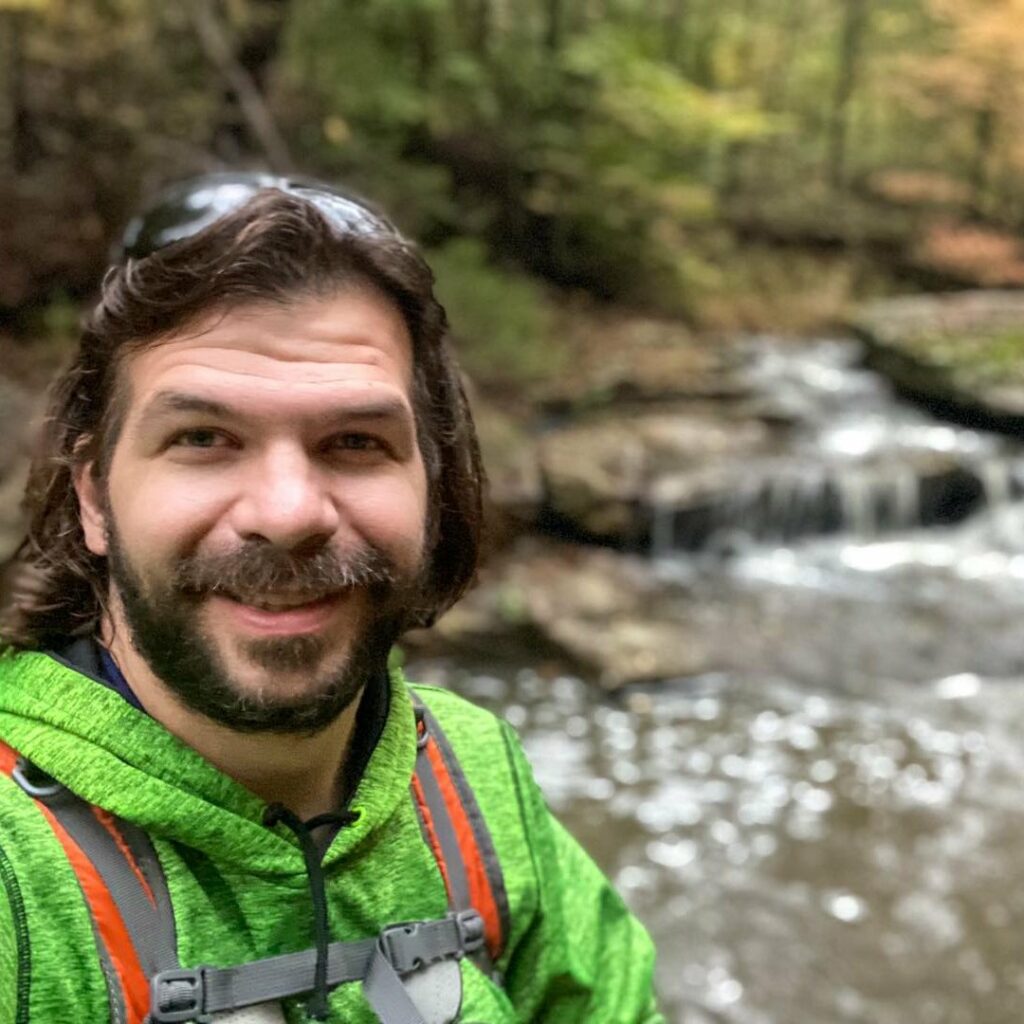
Shawn Gossman
Founder, Hiking with Shawn
Howdy folks! My name is Shawn Gossman and I founded Hiking with Shawn. I’m an avid hiker, cyclist and outdoorsman here in the Shawnee National Forest. I was born and raised in Southern Illinois and never want to leave. I hope you enjoy my website and I encourage you to interact with me!