Apps
Hiking with Shawn
Uses
Howdy Patreon Supporters! In this exclusive Patreon-member only article, I’ll be going over each of the apps Hiking with Shawn uses on my phone and what I use it for. This will be apps Hiking with Shawn uses on my iPhone of course but I’m sure the apps Hiking with Shawn uses are on other phone types as well. I hope you enjoy this little article and hopefully the apps I choose to use may be beneficial for you. Let’s get started!
The Apps Hiking with Shawn Uses are:
- Gaia GPS: There is a free version of this that works great. I however like it enough to use the paid version which is $39.99 a year. This gives me more maps for hiking, roads and etc. There is another paid version for $19.99 a year as well. I primarily use this app to record locations that I want to record the coordinates of. I like the features that come with it especially the little icons I can save the location as which I find helpful for organization purposes. Because I never used the maps, I’ve decided to cancel the paid version and just use the free one.
- Avenza Maps: I use this app because you can use it without data or signal. The River to River Trail bundle is free and will keep you right on the trail. And this app is used by most federal and state land management agencies. It really is recommended to be one of the better apps for outdoor recreation activities. The app itself is also free.
- AllTrails: I primarily use AllTrails when visiting other states and their hiking areas that are semi-popular to really popular. AllTrails tends to have these trails listed on their app. I pay for the pro version which costs $29.99 a year. The pro version allows me to download the map for offline use or when I get into an area with no signal.
- OnXHunt: OnXHunt is my main app that I use when hiking. I pay $30.00 a year per state. This is not a free app. I use this app to download map areas for use while there is no signal. It shows public land boundaries and private property boundaries with names of the property owners. While some boundaries are not always correct on the maps, most of the time, the information is fairly accurate. The topo features also help me decide where I will travel. I go off trail a lot and this app is what I use to navigate. Most of the lesser known gems I have found were because of this app. I highly recommend it.
- iNaturalist: I use iNaturalist (free app) for identifying and recording unknown (unknown to me) plants, wildflowers, bugs, and wildlife while hiking. This app allows you to learn about nature while also recording events (locations protected) and helping with science. For example, you might record a plant in a county that hasn’t been recording in 30 years. That would be significant for botanists studying threatened plant species.
- Strava: I use the pro version of Strava which is $60.00 a year. However, I use this to record all my hikes and bike rides. I like the features it offers, and I’ve been using it for years. I use my Apple Watch (get a cheaper watch, I should have lol) to record the activities so I don’t drain my phone battery.
Apps Hiking with Shawn Uses: Bonus App
I use Adobe Light Room for mobile (free I believe!) to edit all photos I take with my iPhone. While the iPhone does a remarkable job in photography (not as good as DSLRs though), some minor edits are often needed to make the photo pop and that is what I use this app for.
Well, that’s about it for me! I hope you enjoyed this Patreon-supporter only article and of course, expect more in the future! What others apps are you using on your phone for outdoor recreation?v
One last thing!
Filming the videos, taking the photos, editing everything and writing this article takes time and it’s all provided for free. Consider making a small monthly contribution to Hiking with Shawn by becoming an official Patreon supporter on Hiking with Shawn! You can also support us by purchasing official merch from the Hiking with Shawn online store. Lastly, please share this article and our videos and follow us on YouTube, Facebook, Twitter, Instagram and Tumbler for more free guides, videos, photos, contests and more!
Thanks for checking out this guide and please share it with others if you’d like to see more of them made!
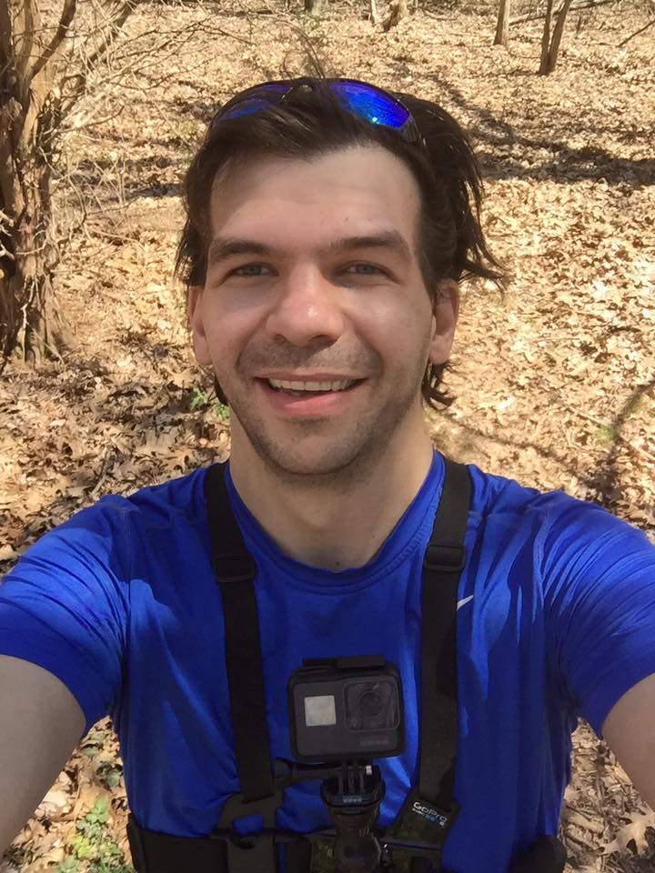
Shawn J. Gossman
Host
Shawn is the founder and host of the YouTube Channel, Hiking with Shawn as well as Hiking with Shawn LLC. Shawn hikes, backpacks and visits various forested areas in the Shawnee National Forest, local state parks and other areas promoting outdoor recreational activities to obtain video to show to locals and non-locals alike. Please support Shawn’s efforts by sharing this post and leaving a comment below.