Garden of the Gods
Settlement:
Chasing Stories
Series
We found a Garden of the Gods Settlement not too long ago that all started with a story on social media.
Welcome to a new article series where I blog about exploration and adventure in the Shawnee National Forest and Southern Illinois. These adventures involve us explicitly looking for something on our trips.
You can expect adventures where we search for old settlements, trace old roads, look for lost rock art, and even chase legends of hidden caves. We might even throw in some fun stuff, too!
I’ve hiked just about the entire acreage of the Shawnee National Forest. But there are still plenty of stories to chase, and I want you to know what we find!
So, let’s start this series with my story about finding the Garden of the Gods Settlement.
Garden of the Gods Settlement: Backstory
A follower and Patreon of Hiking with Shawn named Carl was the one who initiated this adventure.
Carl had asked about old structures in the Garden of the Gods area. He had said he was out there one evening and found shelter in some kind of structure. He gave me a map screenshot of where it could have been.
I remember telling him I only knew of structures around High Knob, the old cabins along the River to River Trail.
But it definitely sparked an interest in Michelle and me, and we set out to look for the structure.
How We Searched for Possible Garden of the Gods Settlement
It was a lot of fun how we searched for the Garden of the Gods Settlement and other old settlement spots.
I’ll gladly share my process with you. First, however, I ask that you practice Leave No Trace, tread lightly, and be safe about it.
First, we select an area we wish to explore. In this case, Carl shared a Google Maps screenshot. I took points of interest from the map and found them on my OnXHunt maps app. This allowed me to see what sort of topography the area had and the property boundaries. Knowing the topography can help make a hike easier if you know how to read maps. In addition, knowing the boundaries can help keep you on public land and respect others’ rights to private property.
Once we found the area, I typed the coordinates into another app called Gaia GPS. There is an overlay for this app called 1930s Map Overlay. It shows what the area once looked like around the 1930s. This was about the time right before the forest was created. The map has small square dots, indicating that structures were once at that dot. You can also see old roads, historical schools, and points of interest no longer on modern maps.
I found three areas within the coordinates of the area Carl shared with his map. Two were accessible for a day hike, and the other must be visited another time. Garden of the Gods Wilderness is pretty big and hilly!
I downloaded the map on OnXHunt and pinned the areas where I thought the Garden of the Gods Settlement might be based on the 1930s overlay map.
")
")
After Report for the Garden of the Gods Settlement Adventure
This is how the Garden of the Gods Settlement adventure turned out from start to finish.
We started on the morning of December 15, 2022, at Garden of the Gods Observation. We took the Anvil Rock trail into the wilderness area. We then followed Trail-108K to Trail-001 (R2R Trail). We went off trail and started following an old road here. It was visible as an old road to our eyes. The rough GPS coordinates of where the old road started are 37.608580, -88.384593.
We followed the road through a pine grove until we reached an area with older hardwood and wolf trees. The area’s canopy was opened up more. That and the old trees are usually an immediate indicator that the area is an old settlement.
Use caution when you walk into these areas. Most have unprotected deep open wells. This particular area had two or three of them. There were also maple trees that had been tapped and rocks laid around that looked like they were probably used as structures at one time.
The cabins that were once at sites like the Garden of the Gods Settlement and others were not very sturdy. Most were made of large rocks and wood. There was often no insulation, and the cabins were cold in the winter. Most of the settlers were very poor.
Some people like to say that the Forest Service stole land in the Shawnee. The truth is that they offered to buy people out. The people were so poor that they accepted it so they could live in the town where work was and not a rugged terrain to commute. Times were hard back then.
After checking out the area, we continued to move down the road. We found a few different ponds along this hike. We suspect a few were from settlers, but some may have been created by the CCC or Forest Service as wildlife ponds. The ones that usually have a sign with letters and numbers are wildlife ponds. These are typically fishless ponds used as a drinking and habitat source for forest wildlife.
The further down the road we got, we reached an area where an old bridge support system (wooden) was present. The bridge portion was long gone. Then shortly past, was a large hole dug into the road, making it partially into a pond. The mound of dirt was right by it, blocking the road. I suspect it was done to keep people from driving on the road. Maybe the bridge went out, and they didn’t plan on maintaining the old road. Someone once told us there used to be a different way into the Garden of the Gods. This may have been it. They would have had to close that road anyways because it gets into the designated wilderness area, and by law, you can’t drive in those.
Shortly passed, and we came upon what looked like a deer camp or party area. There was a lot of trash left behind. There were several bonfire pits with many empty beer cans scattered around. It looked like an area where people dumped old appliances and tires. Our world would be better off without scum of the earth like those people. I truly wish them to worst possible lives.
This area had a few structures, although most of them were down. There was a barn that was still slightly up. But it had significant damage to it and was falling in. I didn’t feel safe exploring it on the inside.
The other structures were mainly floors of houses or cabins that were once there. The road at this point was more like a normal dirt road that you could drive on. We were also out of the wilderness boundary at this point. The road is called Derby Road and appears to be reached by Palmer Road. However, when we drove by later that afternoon, it looked like it had gone into private property. Maybe it is an actual road – I didn’t find out.
If someone knows, please comment and let me know. But, again, I don’t like to trespass.
This could have been the spot that Carl was talking about. I’m not sure.
I wanted to ensure we saw the second point I found on the 1930s map before we were done. That was located at coordinates 37.60926, -88.39333.
We made our way down the old road and into a pine grove to bushwhack for a little while until we reached a designated trail. We took the trail until we reached a point where we had to bushwhack to where the settlement site was supposed to be.
I made a navigational error and took us farther uphill than we needed. Michelle will note that I tend to do this. It happens, but as I tell her, the elevation is good for our hearts. Of course, she doesn’t always agree (LOL).
After backtracking, we found a fascinating spot—piles of rocks (about 6’ in diameter) lined beside a creek. There had to be about 8 to 12 piles. I suspect it was either a rock fence or remnants of an old cabin; some may have been covering wells. It wasn’t a cemetery or a Native American one, as some people would try to conclude. Those look entirely different.
Other than the piles of rocks, there were no other signs of settlement.
We then hiked back to the truck, happy with our findings. On another day, I’ll explore the third Garden of the Gods settlement spot I saw on the map.
Hike Stats: 5.5-miles / 1,379’ elevation / 2 hours and 40 minutes (See Strava Recording)
I hope you’ve enjoyed this article. I hope you look forward to other stories I have to tell in the future. I also try to tell these stories in my monthly newsletter, too. If you aren’t a subscriber, you should subscribe today because it’s free!

Flooring of Old Structure

Old Barn

Old Bridge Frame

Wildlife Pond
Please Support Hiking with Shawn
Alrighty folks, I hope you have enjoyed this content. I provide it for free and it takes a while to create. If you would be so kind enough to support my efforts, you can do so by sharing this post with others, especially on social media. Be sure to subscribe to my YouTube Channel to see my latest videos, shorts and live streams. Follow me on Facebook, Instagram, and Twitter for unique content that you will only find on those pages. You might also join my Southern Illinois Hiking & Outdoor Resources Group on Facebook, too!
You can also support me by becoming a Patreon Supporter for as little as $3/month and you can cancel anytime (no contracts or catches). Patreons get access to extra features, exclusive articles, sticker packs, gifts and more. Consider buying official Hiking with Shawn Merchandise as another way to support me. I spend a lot of money on Hiking with Shawn and because of extremely high public land permit fees, I make very little money in return so everything helps.
Thanks again for checking out another one of my articles and until next time, I’ll see you on the trail!
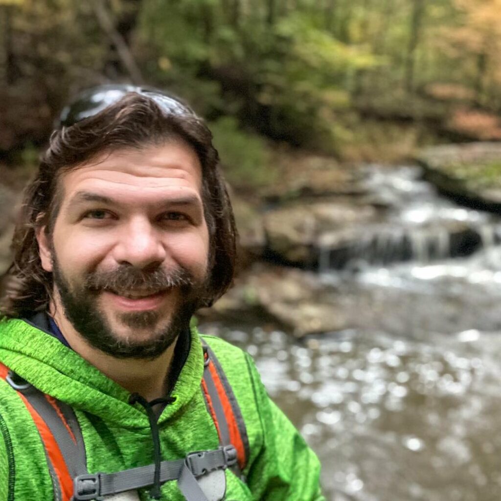
Shawn Gossman
Founder, Hiking with Shawn
Shawn Gossman, known regionally as Hiking with Shawn, is the founder and senior editor of this blog. Shawn has been hiking the Shawnee National Forest for over 15 years. Shawn is a Southern Illinois native and very active in the local tourism community. Learn more about Shawn here.
Excellent article and it gives one another reason to wander in the woods.
Thank you! 🙂