
White Rock Nature Preserve Trail Guide

White Rock Nature Preserve hiking and nature preserve located near Valmeyer, Illinois.
You can hike over 6 miles at this preserve and enjoy many scenic sights, including beautiful glade overlooks.
In this guide, I’ll share everything you need to know about visiting and hiking White Rock Nature Preserve.
If you find this guide helpful, please consider giving me a one-time tip for all my effort in creating it and providing it for free. Your contribution will help me to create more of these free guides and videos, and I really appreciate it.
White Rock Nature Preserve Trail Snapshot
Important trail information that you should know:
- Location: Valmeyer, Illinois
- Trail Length: 3.5 miles
- Elevation Gain: 1,200 feet
- Type: Out and back
- Average Time: 3 hours
- Difficulty: Moderate
- Pets Allowed: Yes (leash required)
- Restrooms: No
- Parking: Yes
- Road Conditions: Paved, Gravel Parking Lot
- Best Seasons: Late Fall, Winter, and Early Spring
PRO TIP: AllTrails says the trail is 3.5 miles. Other sites have different mileages. We hiked a total of 6.4 miles on the trail out and back to where we parked, never getting off trail or turning around.
Why the White Rock Nature Preserve is Worth Hiking
The White Rock Nature Preserve is best hiked during the late fall, winter, and early spring.
This is a moderate 3.5 to 6.4-mile out-and-back hiking trail. There are some challenging hills along this trail, especially along the Spicebush Trail section. The Spicebush Trail may actually be considered hard in trail difficulty standards. While much of the hike is simply a walk in the woods, there are still some interesting things to see, including historic sites, glade restoration activities, and scenic overlooks.
I recommend visiting the White Rock Nature Preserve in the fall for autumn colors and during leaf off in the winter so you can see everything.
Trail Map + Directions
You can find two trails at White Rock Nature Preserve on AllTrails. Note: The links to AllTrails on this post are affiliate links. I’ll earn a commission, but it will not impact your price. Paper maps are also available at the start of the trail. See the official website for more information.
To reach White Rock Nature Preserve from Carbondale:
- Take Highway 13 towards Murphysboro.
- Turn right onto Route 3 and drive north.
- Turn left on Roots Road after Ellis Grove.
- Go right onto Bluff Road.
- Take Bluff Road to the parking area for White Rock Nature Preserve.
NOTE: After you park in the parking area, you will need to walk up the road (north) and turn right on the next road. Walk this road, crossing a bridge and turning right to reach the actual trail. Please do not trespass on the private property around this area. Do not drive your vehicle down the road with the trail, as there are no public parking spaces. The initial parking lot is the only parking available for White Rock Nature Preserve.
You can also use this Google Maps Link to enter your address for the parking lot.
All of the roads to White Rock Nature Preserve are paved. The parking lot is gravel and in good condition. You can park at least a half dozen cars in the lot.
White Rock Nature Preserve is private property. It is owned by Clifftop Alliance, who graciously allows the public to use the trails. Please stay on the designated trail at all times. This area is for day use only.
During wintry conditions, this parking lot and some roads leading to it may be impassable to vehicles that are not equipped to drive in snow and ice. This area may be subject to flash flooding if enough rain has fallen.
Cell phone signal may be unavailable in this area. Please download any hiking maps before you visit. Always tell someone where you’re going before going for a hike.
Hiking the Trail and What You’ll See
To hike the White Rock Nature Preserve from the trailhead:
- After parking, walk north on the right and take the first right up the gravel road. You’ll cross a wooden bridge. Stay to the right to reach the gate where the trail starts. There are signs indicating where the trail starts.
- The first bit of the trail is a fairly steep climb up an old gravel road. Take the time to look at the vegetation around you. Some of it is stinging nettle, which will light you up if you brush up against it. Another good reason to stay on the trail.
- You’ll finally summit and get to a rest area with some places to sit. There is an old mine shaft in the rocks that has been closed off, but you can step inside the shaft portion. Some signs are telling you about the history of the area.
- As you continue hiking the White Mine Trail, you’ll reach a junction where you can go right on the Ridgeline North Trail. This takes you to a beautiful scenic overlook viewing the agriculture in the area.
- Heading past the junction will take you to Ridgeline South, where there is a glade at the end being managed with some reading material to check out.
- The Spicebush Trail is signed as rugged. It’s no joke. Its steep hills make it hard to hike up and down it. It was tough, even for me, but it was still fun and had a little loop at the end.
Please make sure you pack out anything you pack in here and Leave No Trace when visiting White Rock Nature Preserve. If you find any trash, leave it better than you found it by taking the trash with you.
How Difficult is the White Rock Nature Preserve Hike?
Moderate to Hard.
The trail has rolling hills, very steep sections (Spicebush Trail), creek crossings, and would likely be overgrown in the summer months.
Use caution during the summer. Timber rattlesnakes occur in this part of the state. Rattlesnakes will likely be present in any glades. Watch your step and use common sense when visiting during the warmer months.
While this isn’t really a beginner trail, it’s a good trail for beginners who are ready to move onto something more moderately to rugged in terms of difficulty.

Best Time to Hike the White Rock Nature Preserve
I recommend hiking this trail in late fall, winter, and early spring.
Summer brings overgrown sections, stinging nettle, spiderwebs, ticks, and potentially timber rattlesnakes.
Late fall would be best for seeing the tree colors change.
During the winter, you can see everything, and it should be a very easy hike, aside from the elevation gain, which was around 1,200 feet.
In the early spring, the forest starts to wake up, and you can see wildflowers starting to bloom.
What to Bring on This Trail
This is a moderate to rugged hike. I recommend at least bringing:
- Comfortable clothing that breathes (no cotton)
- Durable hiking boots or shoes (hiking socks, too)
- Plenty of water and a snack (often no creek water to filter)
- First aid kit and emergency supplies
- Rain gear just in case
- Flashlight and headlamp, just in case
- Bug spray and sun block
It’s always recommended to at least carry the 10 essentials of hiking when enjoying this trail.
Safety Notes and Warnings
Use caution at the overlook. It’s high enough where a fall from it would likely be fatal.
You’re required to stay on the designated trail. By leaving the trail, you will put yourself at significant risk of getting hurt.
Cell phone signal may not be available on this trail. Please make sure you download any map you wish to use before visiting. Paper maps at the trailhead are not always available.
Pay attention to the local weather forecast before and on the day of your hike. I advise you against visiting during unsafe weather conditions.
This is rattlesnake country. Please watch your step, do not attempt to harm the snake, and move around it safely to avoid hazards.
Water is not always available in the creeks. Don’t depend on it for filtering when you visit. The trail is moderately rugged, and you’ll need to drink more, especially when it’s hot, so bring plenty of water.
Ticks, mosquitoes, and other biting bugs are present in this area. Use DEET and permethrin to ward off most of these pests. Make sure you check yourself thoroughly for ticks after you’re done hiking for the day.
Photography Tips
The best photography spots along White Rock Nature Preserve are likely going to be the scenic overlooks on the Ridgeline North trail.
I’d recommend visiting during the fall (for colors), winter (to see everything), and spring (wildflowers) for the best photography. Summer can be pretty, but expect everything to be overgrown.
Golden hour is likely going to be a good time to visit for photography. I imagine this spot would be great for sunrise and sunset photography, too. Please note that Clifftop Alliance asks visitors not to use the area at dark.

Nearby Trails to Hike
There are many great hiking trails to enjoy in this area.
I recommend visiting Fults Hill Prairie Nature Preserve close by.
The Salt Lick Point Land and Water Reserve in Valmeyer is also a fun hiking trail system to visit. It has some amazing scenic overlooks.
If you get into caving at all, the Illinois Caverns State Natural Area is also close by.
Who is the White Rock Nature Preserve Best For?
This trail is moderate to rugged.
Beginners should not use this trail until they’re comfortable with steep rolling hills. There are some very challenging hills on this trail, especially along the Spicebush Trail section.
Rattlesnakes might be present.
Please always make sure you hike with a friend and tell someone where you are going before you go.
Where To Eat Near the White Rock Nature Preserve
After hiking the White Rock Nature Preserve, we headed into nearby Columbia, Illinois, and ate at Miller’s on Main. It had really good food, great service, and fair prices. I highly recommend eating there if you’re looking for a great meal.
White Rock Nature Preserve: Conclusion
The White Rock Nature Preserve was a fun trail system to hike. Clifftop Alliance does some wonderful work, and they allow the public to use their land, too. I highly recommend visiting their sites and donation or joining their cause if you can.
If you found this guide helpful, please consider supporting me by becoming a monthly Patreon Member to get more.
Subscribe to my free monthly newsletter for more hiking tips, exclusive trail guides, and upcoming local events in and around the Shawnee National Forest.
Check out The Hiking Forum, an online community for hiking and backpacking with others around the world.
And until next time, I’ll see you on the trail!
Watch the videos for this trail!
Below is a recent video that we filmed while enjoying this area.
Check out the trail gallery!
Enjoy these photos taken around this area!
Scenic Overlook at White Rock Nature Preserve
White Rock Nature Preserve Signage

White Mine at White Rock Nature Preserve
Inside the Mine Shaft at White Mine
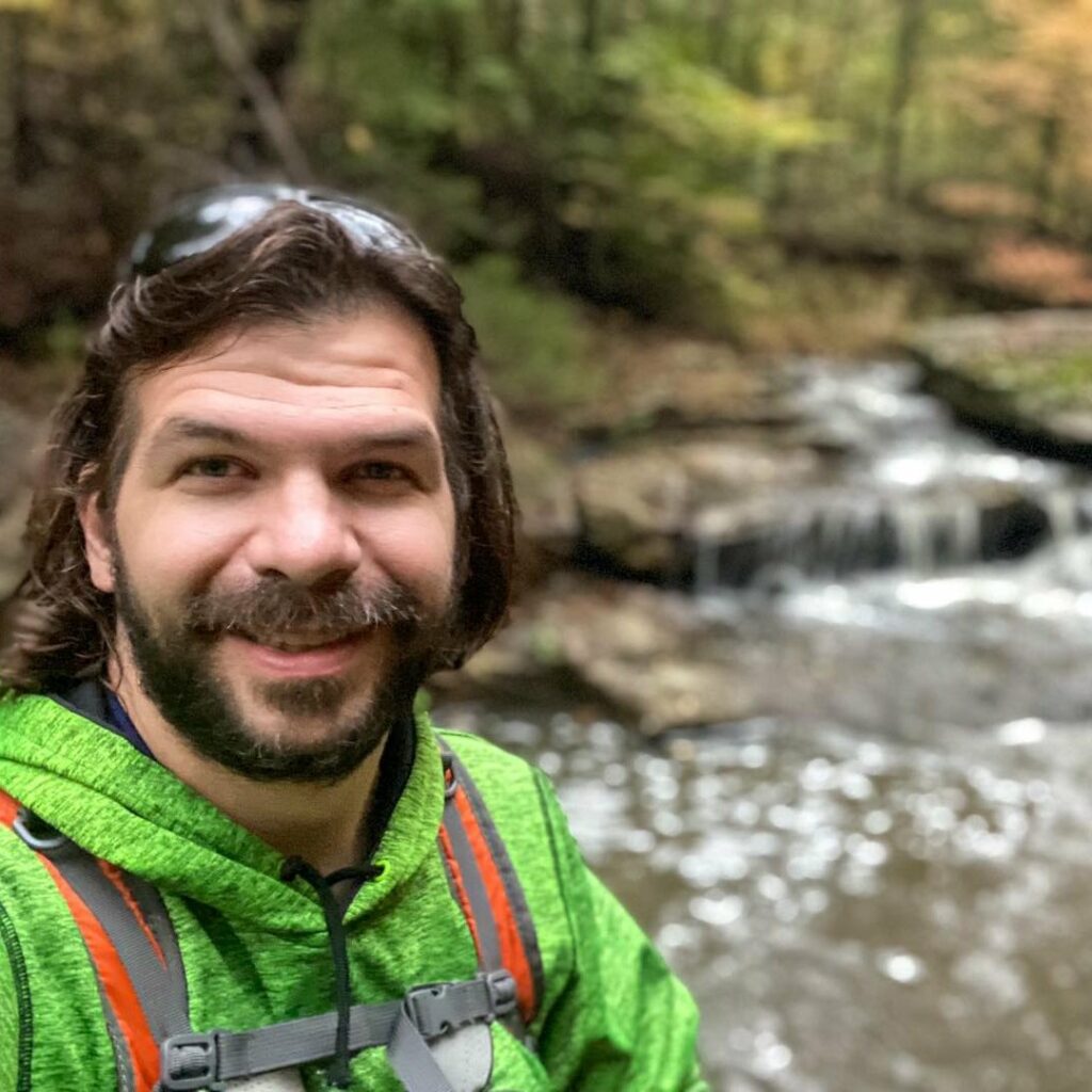
Shawn Gossman
Founder, Hiking with Shawn
Shawn Gossman, known regionally as Hiking with Shawn, is the founder and senior editor of this blog. Shawn has been hiking the Shawnee National Forest for over 15 years. Shawn is a Southern Illinois native and very active in the local tourism community. Learn more about Shawn here.