Hiking with Shawn’s
Ultimate Trail Guide Series:
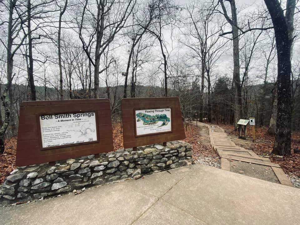
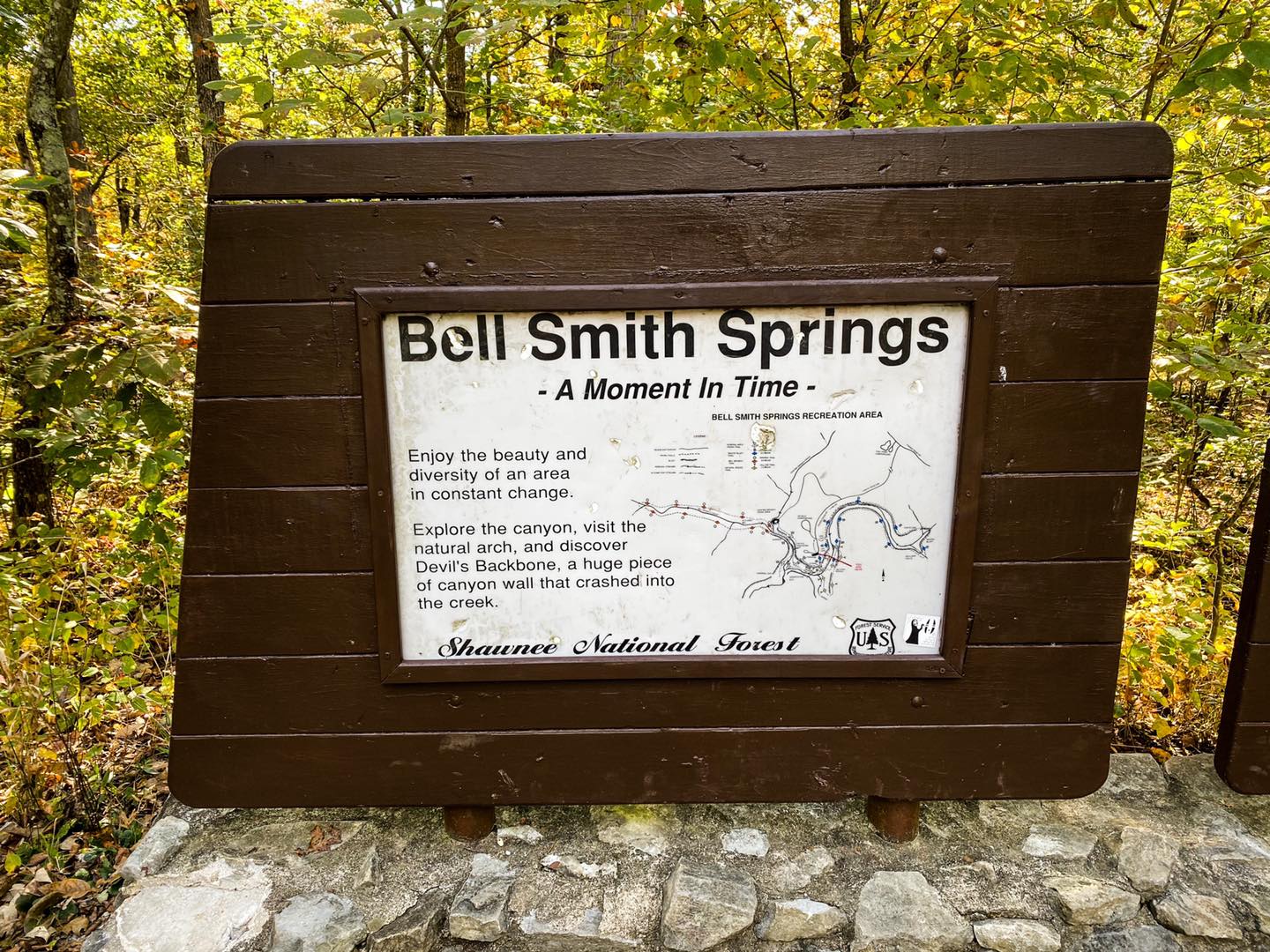
Bell Smith Springs
Recreation Area
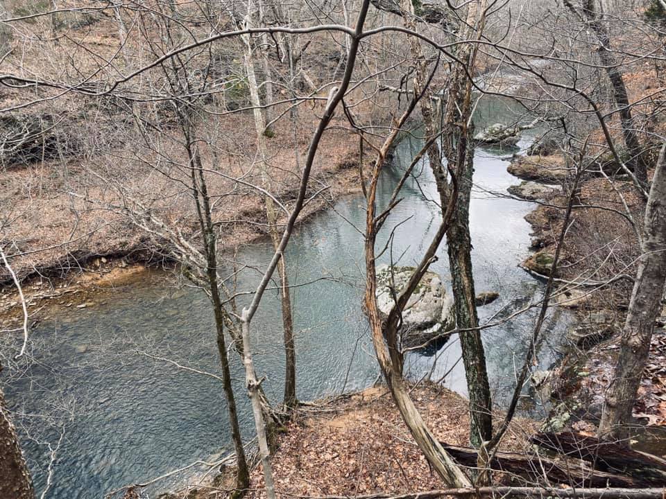
Bell Smith Springs Recreation Area is a popular recreation area of the Shawnee National Forest in southern Illinois. It contains over 8-miles of various types of hiking trails and many different points of interest. Bell Smith Springs is managed by the Hidden Springs Ranger District located in Vienna, Illinois. Bell Smith Springs Recreation Area is popular, especially in the warmer months due to its jumping spring and various portions of its creek, Bay Creek, which provides areas where patrons can swim and wade in the cooler waters. Bell Smith Springs is truly a fun and adventurous hotspot for people of all ages to enjoy.
Bell Smith Springs Recreation Area is a National Natural Landmark. This designation is due to its plant communities and geological features throughout the Recreation Area. There is a variety of habitat for various plants and wildlife. This area is commonly used for birding activities as well as precious flora viewing and recording. Please help keep this area a National Natural Landmark by staying on the designated trail and treading lightly. You can help protect this area and our National Forest system by following the principles of Leave No Trace.
This Ultimate Trail Guide was created due to how much activities and trails are present at Bell Smith Springs. This guide was also crafted due to the fact that people often get lost while navigating Bell Smith Springs. And lastly, there are important rules in place as well as efforts being made to ensure Bell Smith Springs can be an ideal destination for folks of all ages. One particular thing to remember is that we all need to chip in to help keep Bell Smith Springs beautiful so that everyone may safely enjoy it together.
This guide was created by Hiking with Shawn and is not an official document of the US Forest Service. Please see the official US Forest Service information for Bell Smith Springs at this link. Please consider becoming a member of Friends of the Shawnee National Forest as this organization continues its monetary, volunteer and conservational support of Bell Smith Springs.

Directions to Bell Smith Springs
Check out this map for an area overview of Bell Smith Springs.
To reach Bell Smith Springs from Harrisburg, Illinois: Take Highway 145 south 11 miles to Burden Falls Road. Turn right, go 5 miles to Ozark Rd. Turn south (left). Go to Bell Smith Springs Rd. Turn southwest (right) and proceed 2 miles to Bell Smith Springs.
To reach Bell Smith Springs from Vienna, Illinois: Take Highway 45 north 12 miles to Ozark Road. Turn east (right). Go 10 miles to Bell Smith Springs Rd. Turn southwest (right) and proceed 2 miles to Bell Smith Springs.
WARNING: Burden Falls Road, Ozark Road and Bell Smith Springs Road are gravel and heavily used by visitor traffic. Therefore, expect rough driving conditions in some spots. There are some large potholes that will REQUIRE you to SLOW DOWN when driving over. Many people report damaging their vehicles on these roads because they don’t slow down. Any vehicle should be able to use these roads as long as drivers use common sense and slow down. Be considerate of the many people who live on these roads and have to use them each and every day.
Parking is available at different locations within the Bell Smith Springs Recreation Area:
Hunting Branch provides parking availability to multiple vehicles. To reach this area, while traveling towards the Recreation Area on Bell Smith Springs Road, the first right turn before the gravel road turns to asphalt (there is an open gate at this road) will take you to Hunting Branch. Just drive to the end of the road and you will see parking availability. Access to the White Trail and Red Trail can be made at this parking area.
Redbud Campground offers limited parking by the campground sign (3-5 vehicles max). This area is located where you turn into Redbud Campground before reaching Bell Smith Springs Recreation Area. If you go past the open gate on the asphalt road, you’ve gone too far. The area is right before the main gate. Parking is along the front of the sign. Don’t park in the campground unless you are camping. Access to the White Trail and the Blue Trail can be made at this parking area.
There are two main parking lots for the Recreation Area at Bell Smith Springs. While traveling on Bell Smith Springs Road, past the campground and main gate-you will come to a parking area where the signs, trashcans and restroom is that can fit quite a few cars. Only park cars in designated parking spaces. If you continue past this parking area and drive to where the turnaround loop is, there are additional parking spaces available. Parking alongside the turnaround loop on the side of road is prohibited.
Please park only in designated parking spaces. Parking along the sides of the road is prohibited, illegal and puts other people in danger. Vehicles parked on the side of the road face potential damage, citations and even being towed at the owner’s expense. US Forest Service Law Enforcement has recently increased patrols through this area in order to actively enforce these parking regulations.
Bell Smith Springs is popular during warmer days and may at times reach maximum capacity. This could force the Forest Service to temporary close the Recreation Area to incoming visitors. Please be prepared for potential closures especially if parking violations are occurring. Always have a Plan B and a Plan C to ensure that you can enjoy your visit to the Shawnee National Forest. Other nearby destinations that you might consider as alternatives are Jackson Falls, Burden Falls Wilderness, Bay Creek Wilderness, East Trigg, Trigg Tower and Millstone Bluff just to name a few.
Bell Smith Springs Recreation Area has been closed in the past for reaching max capacity as well as per public health closure requirements related to the 2020-2021 COVID-19 pandemic. Please ensure that you abide by closures when they occur.
Hiking Trails at Bell Smith Springs
There are many different hiking trails at Bell Smith Springs. These different hiking trails offer different levels of hikers’ different views and points of interest. One could easily spend an entire day hiking the many trails within the Recreation Area. The following trails are available at Bell Smith Springs Recreation Area:
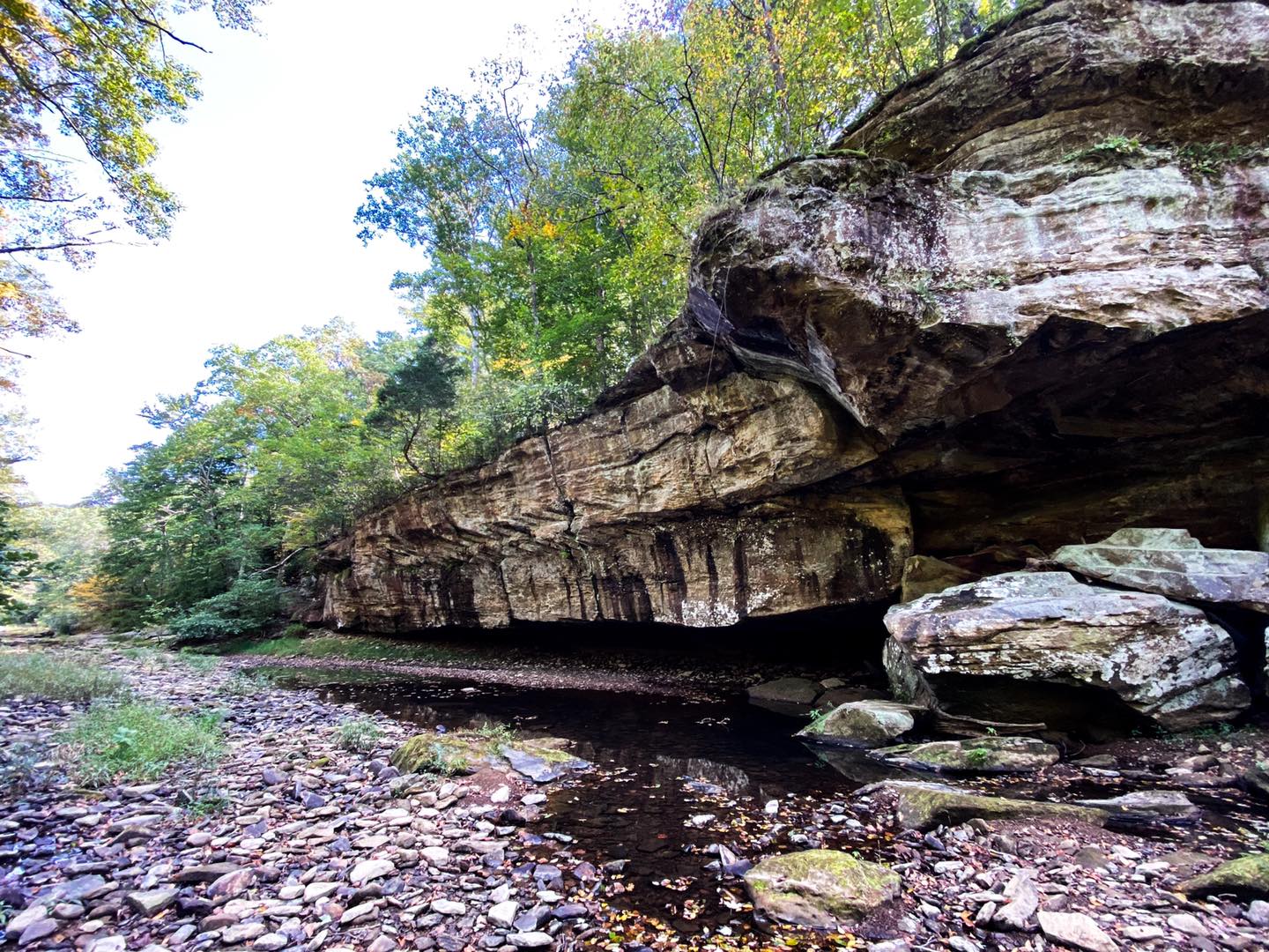
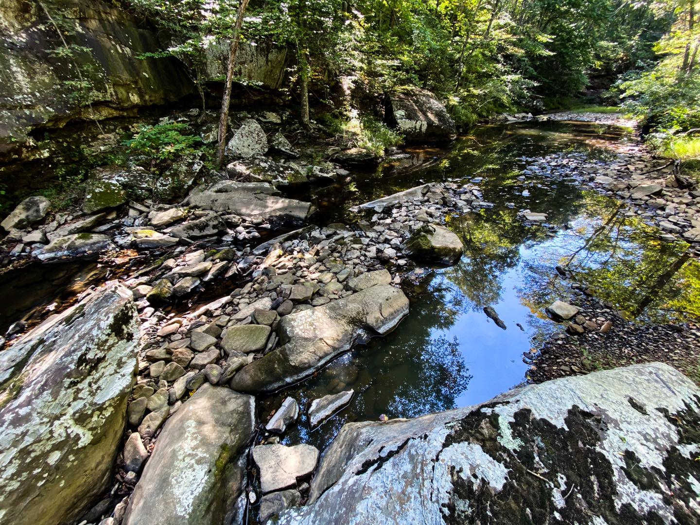
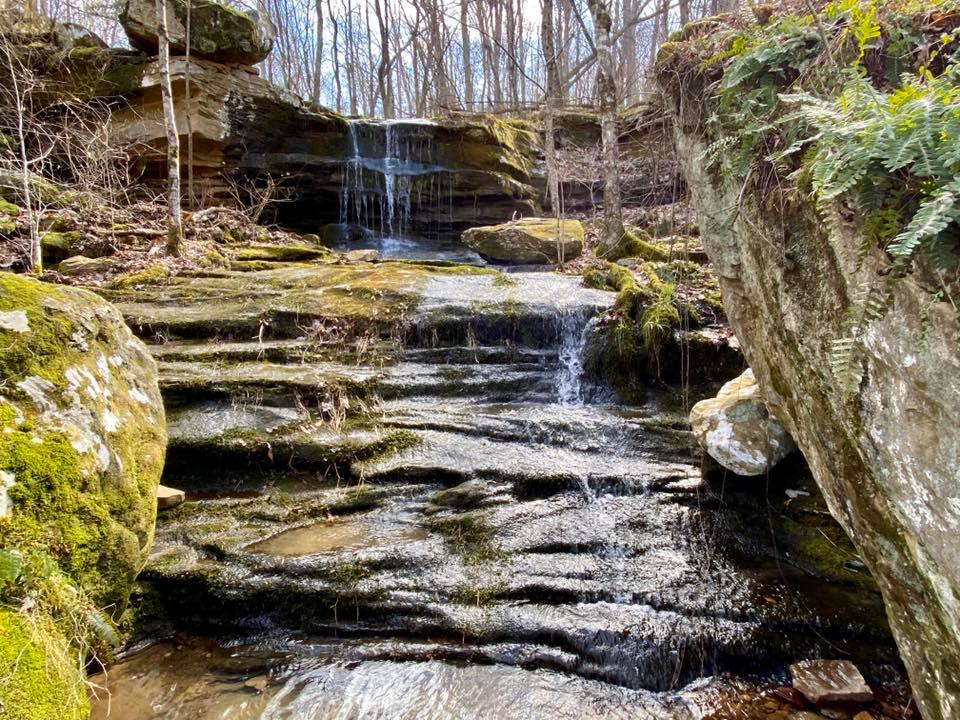
Mill Branch Trail (Red Trail) is a 1.9-mile well-use and well-marked (Red Diamond Blaze) moderate loop hiking trail with under 150’ max elevation gain. The trailhead for this trail is located at Hunting Branch, a former picnic area at Bell Smith Springs. See the directions above on how to reach this particular area. It is at the end of the last road on your right before reaching Redbud campground going towards Bell Smith Springs Recreation Area just for quick reference. This particular trail offers a mainly forested hike with a very scenic cascade running through an open barrens area that is often displayed in photography on social media. Do note that the barrens can be extremely slick when wet or covered in snow and ice – please use extreme caution! You will have to cross a creek at the beginning of the trail from where you park your vehicle. If it has rained a lot, getting your feet wet is going to be likely. This trail is also famous for its former Grist Mill that likely gave it the name Mill Branch. There is nothing left of the Grist Mill, sadly. Hunting Branch also offers various creek fun opportunities and picnic sites which can still be utilized; however, they are no longer maintained. The Red Trail is best done counterclockwise.
Red Trail Resources: GPS Tract | Map | Brochure
The Redbud Campground Trail is located just behind the signage and parking area at the campground to your left right before you go through the gate into the campground. This trail gives you a .9-mile downhill access hike to the main parking area of Bell Smith Springs. There is almost 200’ of elevation gain and it can be a tiring hike back up. The trail is easy to follow and considered easy in terms of difficulty. This trail is a simple short walk through the forest with no exceptional features. It is a safer way to access the main area from the campground rather than taking the road which may be busy at times.
Campground Trail Resources: Map | Brochure
The White Trail 1.2-mile moderate difficulty loop is a well-used and well-marked (White Diamond Blaze) trail that starts at the main trailhead of Bell Smith Springs just past the signs and large wooden stairs to your right of the first overlook with the wooden fencing. The is the most popular trail in the Recreation Area featuring hand-carved stone stairs put in by the Civilian Conservation Corps (CCC) in the 1930s to 1940s when the National Forest was being created. Going back up the stairs can be tiring! There are some creek crossings and rugged conditions on this trail. This trail will take you to several points of interest including scenic views of Bay Creek, Devil’s Backbone Rock Formation and the famous Jumping Spring. There is a staircase to where you can jump from the tops of the bluff into the deep spring below. PLEASE USE EXTREME CAUTION AS SERIOUS INJURIES TO EVEN DEATH HAS OCCURRED HERE. The white trail can also take you to Hunting Branch if bypassing going down the stone stairs and staying on the top side of the bluff. The White Trail can interconnect you with the Yellow and Blue trails as well.
White Trail Resources: GPS Tract | Map | Brochure
The Yellow Trail which is also called Natural Bridge Trail is a moderately difficult 1.4-mile loop trail that is well-used and well-marked (Yellow Diamond Blaze). This trail has been listed as easy on some apps but is more moderate than easy due to required creek crossings, steep conditions in some areas and other features. This trail starts and ends at the bottom of the CCC stone carved stairs. This trail will take you to the Natural Bridge which is said the be the largest Natural Bridge formation in the Shawnee National Forest. If you go when wet, while the creek will be higher, a beautiful waterfall shoots down through the hole of the Natural Bridge. You can access the top of the bridge by taking the trail up and through a barrens area or you can climb up the ladder to the right (behind the big rock after the stone stairs) if facing the bridge. Use caution on this ladder as it can be slick when wet or during wintry conditions. Aside from the Natural Bridge and ladder, this entirety of the trail is worth hiking as there are many beautiful views, forested areas and bluffage to explore.
Yellow Trail Resources: GPS Tract | Map | Brochure
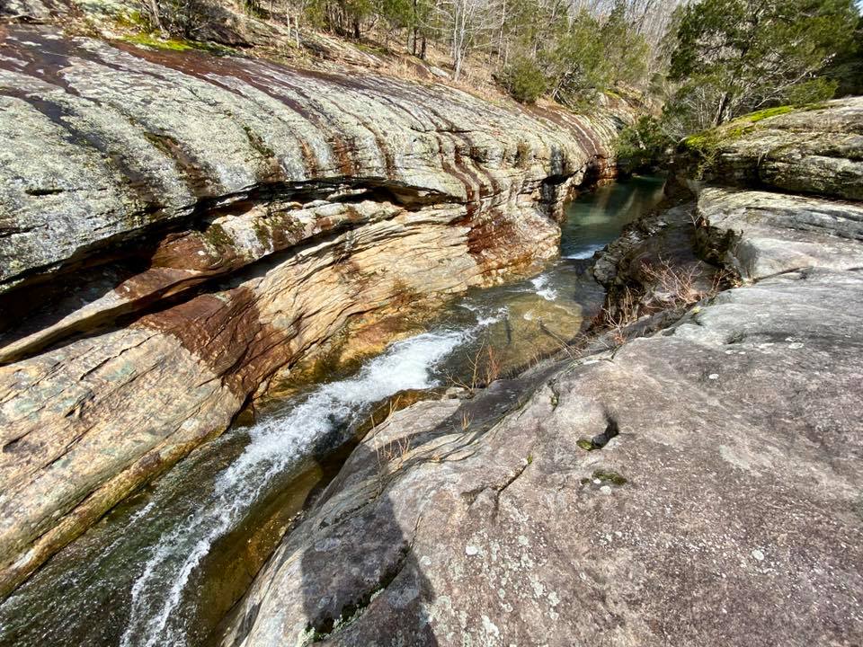
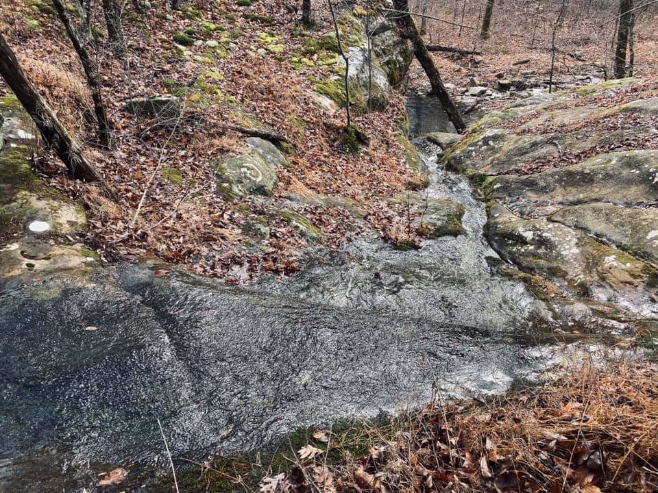
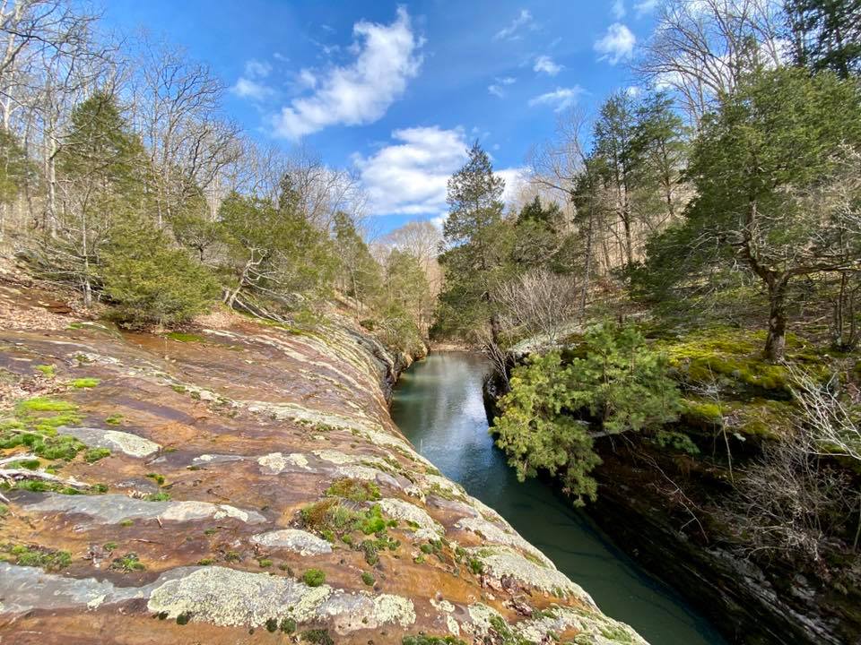
The Blue Trail which is also called Sentry Bluff Trail is a 3.2-mile moderately difficult loop trail that is well-used and well-marked (Blue Diamond Blaze). This is the longest and most rugged designated trail within the Recreation Area. This trail starts on top of the bluff to your left just after you go down the wooden stairs from the main signs and parking area for Bell Smith Springs. There are several waterfalls, creek crossings and rugged conditions along this trail. Please use caution especially when crossing creeks or passing bluff portions of the trail. This trail is mainly a forest hike but allows for some extremely scenic and rugged views of Bay Creek.
Blue Trail Resources: GPS Tract | Map | Brochure
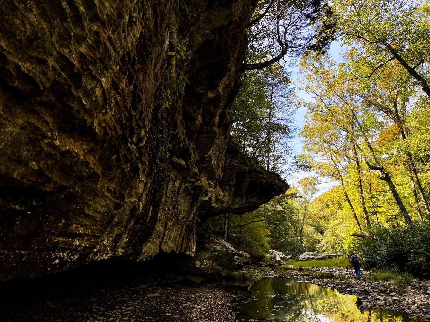
Old Trail across from the jumping spring: This trail is sometimes called Eagle Trail or Eagle Lookout and is no longer maintained as a designated trail. Across from the jumping spring on the White Trail is a large hill/bluff-at the top of the hill/bluff is the old lookout. There is even what is left of an old sign which is no longer readable and remnants of the old trail. Down below the hill/bluff-if you continue to follow the edge to your southeast, it will take you to a really cool cave shelter and waterfall in less than a mile. This trail is not marked, not well-used and can be rugged. Please use caution! GPS Tract
The old White Trail leg can allow you to hike from Bell Smith Springs all the way to Jackson Falls. On the top of the jumping spring, continue to edge the bluff line heading south. There is a faint trail along the way-this is the old White Trail. Out and back, this trail is a few miles. It isn’t well-used or well-marked and it is very difficult with loose rocks, rolling hills, steep conditions and trees blocking the old path. There are two really nice waterfalls along the way including the large Eagle Falls and Eaglet Falls at the base of where Eagle Falls flows near the creek. In order to get to Jackson Falls, it is suggested that you use a property boundary map or app such as OnXHunt (not sponsored) due to private property in the area. Please do not trespass and use extreme caution as this old trail can be dangerous! GPS Tract
Please stay on designated trails at all times to help preserve the environmental elements of this very popularly used Recreation Area. Most people get lost or have accidents when they have got off the designated trail. Cell phone signal coverage is usually not available in this area and response times from emergency responders can be longer due to the remoteness of the area.
Jumping Spring along the White Trail
Natural Bridge along the Yellow Trail
Bay Creel along the Blue Trail
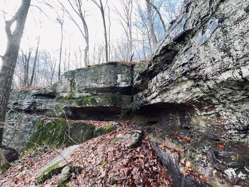
Rock Cascade along the Red Trail
Rules, Tips and Safety Information for Bell Smith Springs
NEW NOTICE: As of early 2021, possessing, taking in or using glass containers within the Bell Smith Springs Recreation Area is prohibited by National Forest regulation. Violating this policy can result in citations. Law Enforcement has increased their patrols and visibility in this particular area. If you see this rule being violate – please call or text 1-618-201-3364 and report it to US Forest Service Law Enforcement. You can remain anonymous. This rule has been put into place to help protect the safety of patrons and preserve the environment of the Recreation Area as glass bottles are one of the most littered items found at Bell Smith Springs.
Bell Smith Springs Recreation Area is open all year long but may temporarily close if maximum capacity is reached or public health/public safety closures are issued. Bell Smith Springs is for Day Use only which means that the area may not be used during nighttime hours.
There is no camping allowed at Bell Smith Springs, but you can camp at Redbud Campground which is located right before the main Recreation Area. Redbud Campground is a fee area ($10.00 a night of up to 2 vehicles and 8 people per site) open from March 15 to December 15. During the closed months, the campground gate will be closed and locked. The campground has several sites with water and restroom features. There are no electrical hookups. Camping is first come, first serve and you pay at the campground sign as well as get your camping permit to hang up at your site. There is no reservation system available and the busiest seasons include summer and especially during hunting season.
The Recreation Area is for foot traffic only. Outside of the campground, roads and parking areas-bicycles and motorized vehicles are prohibited. Equestrian use and camping is also prohibited in this area. Pets are allowed if on a leash.
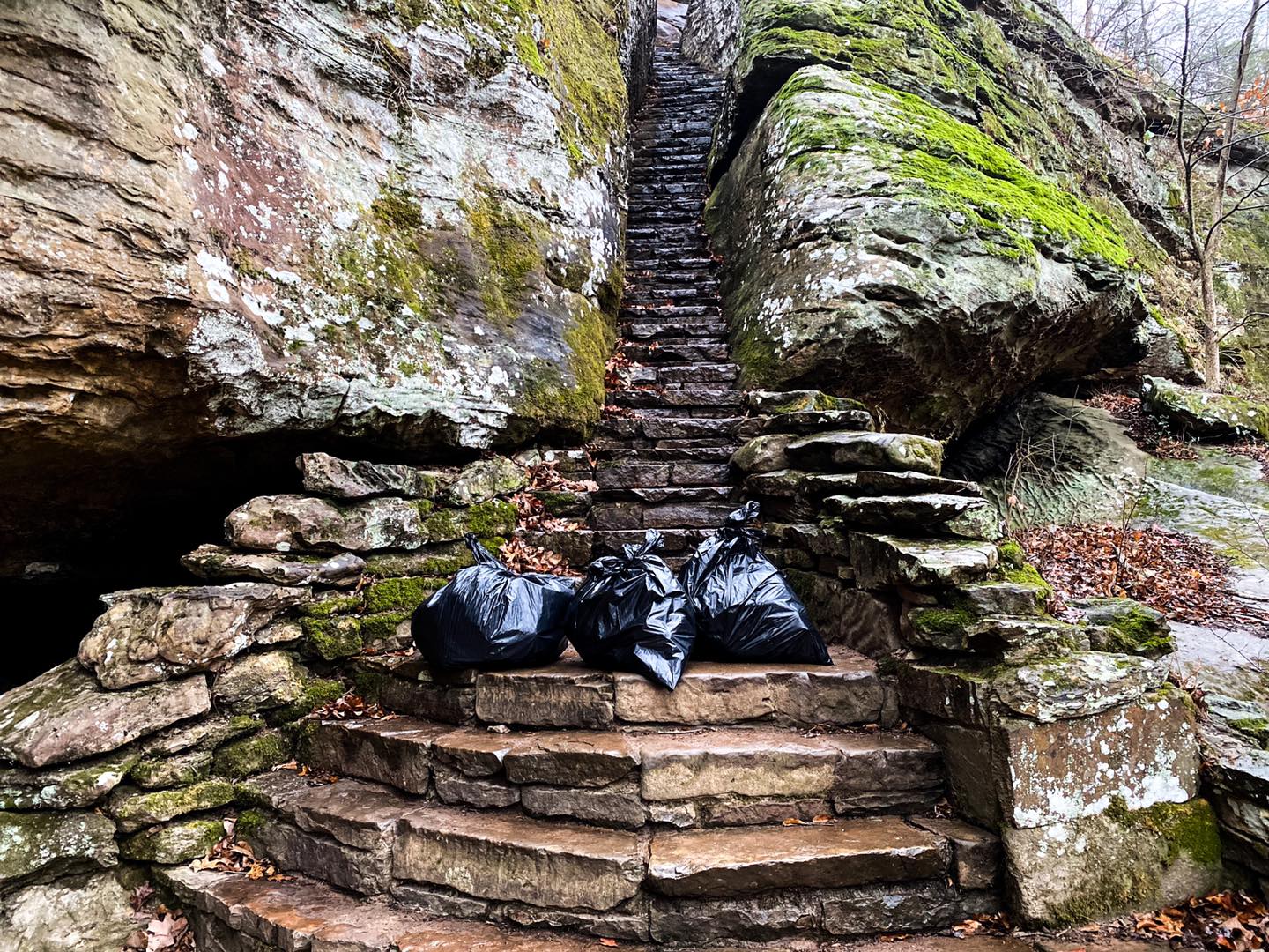
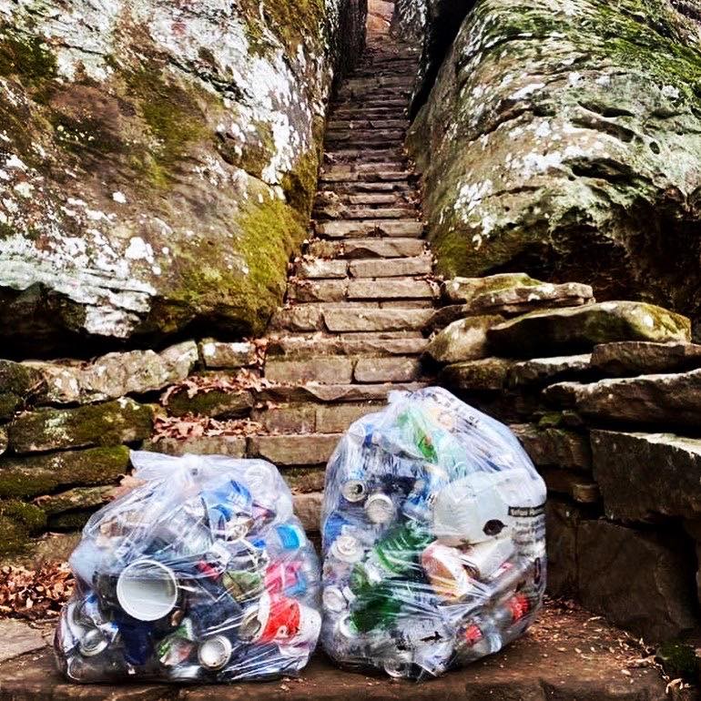
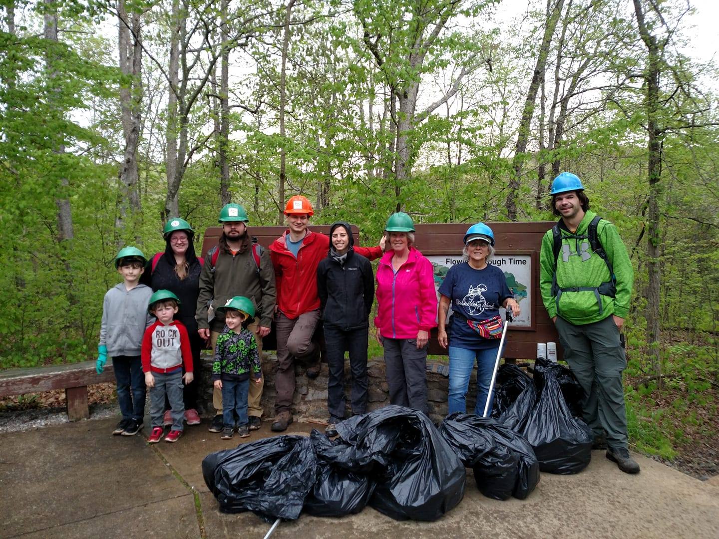
Trash bins are located in the campground and at the main area of the Recreation Area – PLEASE USE THEM! Pack out what you pack in and leave the area better than you found it. Bell Smith Springs is constantly made victim of extreme littering. Much of the litter occurs in areas where patrons are jumping and swimming into Bay Creek. Litter is not only damaging to the ecosystem in this area, but it promotes a threat to public safety and health of visitors. If the area continues to be trashed with litter, there is a possibility that it may no longer be maintained in the future. Please report littering – it’s a criminal offense and the only way to stop it is to report it. Call or text your criminal reports to US Forest Service Law Enforcement at 1-618-201-3364 and as always, you can remain anonymous. Note that volunteer organizations are the folks who clean up litter at Bell Smith Springs. By littering, you endanger the safety of volunteers trying to keep the Shawnee National Forest beautiful for everyone to enjoy.
Please consider bringing a trash bag with you when visiting Bell Smith Springs and helping to clean up litter. If you do, make sure you are using trash grabbers and protective gloves as some items of litter could be hazardous to humans such as needles, used diapers and broken glass. Please do not leave bagged trash at the bottom of the canyon as there is no trash service aside from the actual trash cans at the main parking area and within the campground.
As a general warning to families and those with children: Bell Smith Springs, especially around areas where swimming is possible is widely trafficked during the late spring and summer months. Many of the visiting patrons are drinking alcohol and at times, it may not be suitable for families and young children. Glass containers are not allowed in the Recreation Area of the Bell Smith Springs. The best time to visit the area when the least amount of people is present is during late fall, winter and early spring.
Hunting is allowed in the general area outside of the Recreation Area. Please use caution when visiting the area during hunting season as it is popularly used by hunters especially during firearms hunting season. Any game hunting and/or fishing requires licenses from the State of Illinois even for those who are visiting outside of the state. Conservation Police frequently patrol the area during hunting seasons. Please see the Illinois Department of Natural Resources for more information on Illinois Game Hunting and Fishing Facts.
Parking is allowed in designated parking areas only (mentioned above). Parking on the sides of the road is prohibited. Violations will likely result in a citation and could potentially result in vehicles being towed at the owners’ expense. US Forest Service Law Enforcement frequently patrols this area due to a recent increase in parking violations.
Venomous snakes are present in this area including the copperhead.
Poison ivy and other harmful to human plants occur in this area.
This area is served by US Forest Service Law Enforcement, Illinois Conservation Police, Pope County Sheriff’s Office and Rural Pope County Fire Protection District. Emergency response can result in longer wait times due to the lack of cell phone coverage and remoteness of the area. Most of the fire and ems responders are members of the volunteer responder community and may not always be available. The nearest hospital is in Harrisburg, Illinois. If there is a medical, fire or police emergency – call 911 as soon as you can.
Dangerous areas exist in and around this location. Serious injuries and even death have occurred here in the recent years. Please exercise extreme caution by watching your step, using common sense, putting safety first, never recreating alone if you can help it and by always telling someone where you will be going before visiting the area. The most common forms of injury and fatal encounters that occur at Bell Smith Springs are from falls, dehydration and heat-related illness and getting lost due to going off designated trails.
For more information on how to be safe while visiting the Shawnee National Forest, please see my Ultimate Safety Guide which is available online and to everyone at no cost.
Please Don’t Trash Our National Forest
Please don’t force others to have to clean up your trash.
Leave No Trace and pack out what you pack in! Please!
Things to do near Bell Smith Springs
The closest bigger communities to Bell Smith Springs would be Vienna which is south and Harrisburg which is north of the Recreation Area. Both of the cities have different gas stations, restaurants and other businesses that visitors may find essential to their visit to the area. Between these two communities, we recommend that you visit the following places for things to do near Bell Smith Springs.
For eating, visit Wildfires Steakhouse, Family Diner and Ned’s Shed in Vienna for all around great food. Check out Shotgun Eddy’s in Eddyville for great food, adult beverages and entertainment. Remember to drive responsibly and always has a designated driver when alcohol is involved. Check out my favorite pizza place Mackie’s Pizza in Harrisburg. Murphy’s BBQ in Ozark is also a great stop along the way to Bell Smith Springs. The Mitchellsville Country Store right before Harrisburg has a wonderful selection of breakfast, lunch and dinner items as well. Gas stations are located in Vienna, Mitchellsville and Harrisburg. It is recommended that you have plenty of fuel before visiting Bell Smith Springs and have stable tires.
Other hiking, sightseeing and recreational activities around Bell Smith Springs include Jackson Falls for hiking, rock climbing, waterfall chasing, dispersed camping and equestrian activities. Check out Tunnel Hill State Trail for bicycling, running and walking. Visit the Vienna Visitor Center and City Park for historical information, Trail of Tears information, cycling, playground, events and picnicking areas. Check out Camp Ondessonk for youth summer camp programs with outdoor recreation in mind. Visit Harrisburg for sightseeing and Bigfoot information. And stop by the US Forest Service Hidden Springs Ranger Station in Vienna for official National Forest information. You can purchase maps of the area online from Friends of the Shawnee National Forest which proceeds go back into helping maintain the Shawnee National Forest. You’re encouraged to Become a Member as well!
For camping alternative to the Redbud Campground, check out Shawnee Forest Campground in Vienna for electrical camping and Hangout Campground in Eddyville for electrical and non-electrical camping. For equestrian camping, check out Hayes Canyon Campground. Free disperses camping can be done at Jackson Falls as well as Burden Falls Wilderness and Bay Creek Wilderness.

Watch the videos for this trail!
Below is a recent video that we filmed while enjoying this area.
Check out the trail gallery!
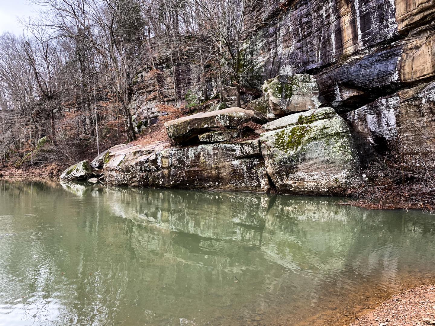
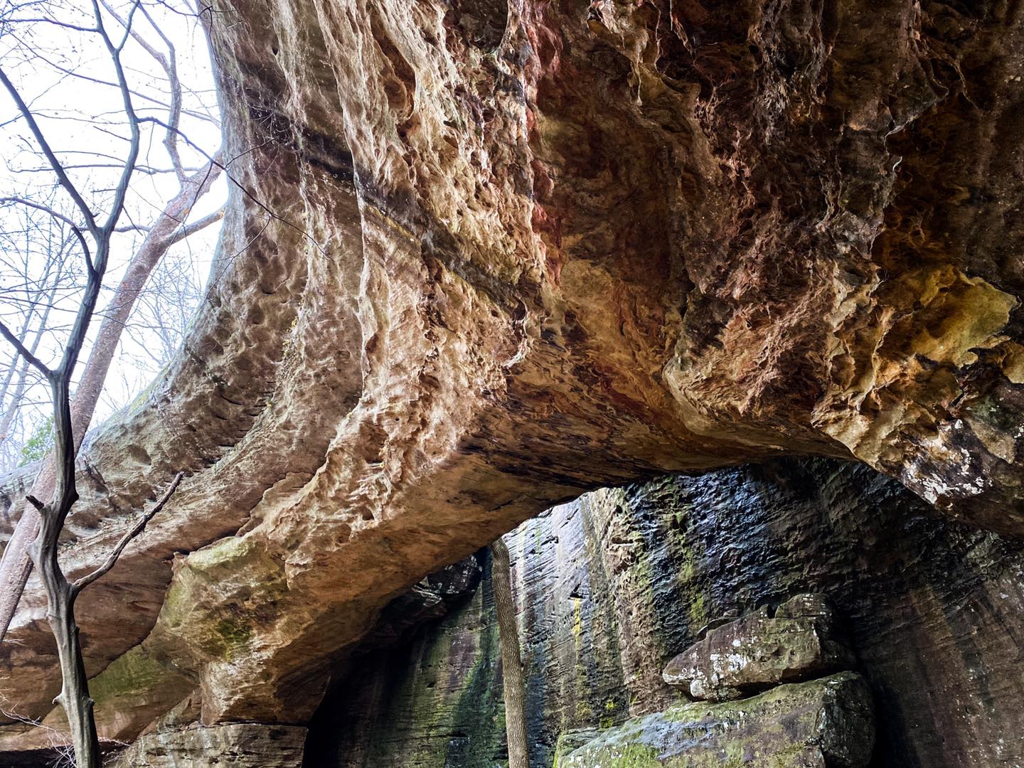
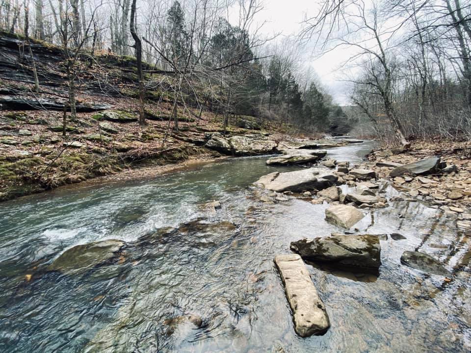
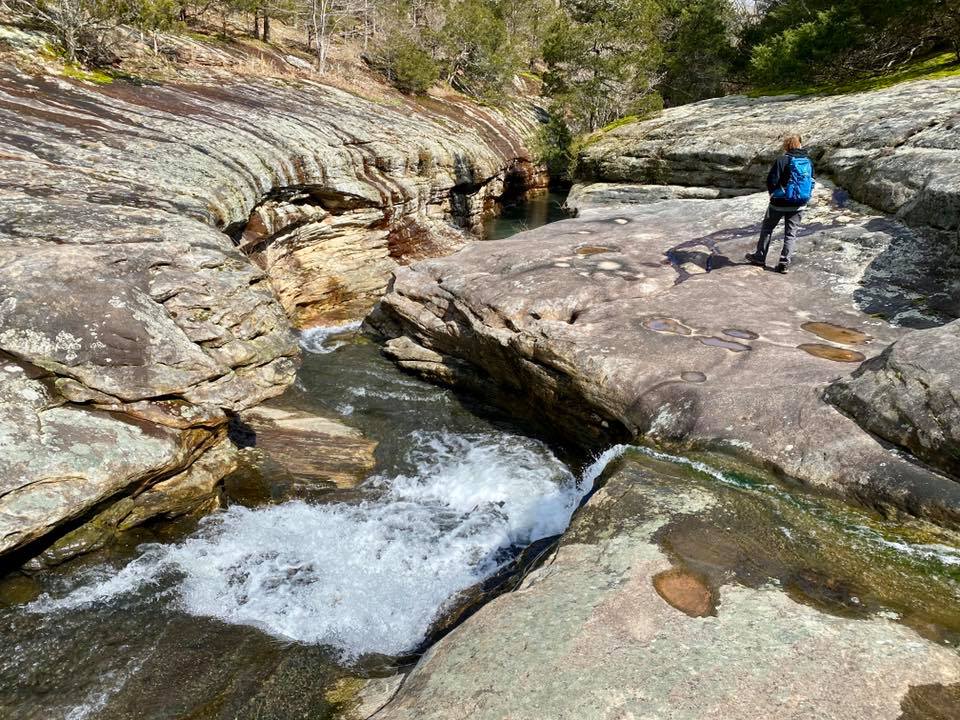
Enjoy these photos taken around this area!
One More Thing!
Thank you for checking out the Ultimate Trail Guide for Bell Smith Springs Recreation Area. This guide took a while to create so please share it with others, especially on social media!
Please support the creation of this guide and upcoming guides by becoming a Patreon Supporter of Hiking with Shawn. You can also support me by purchasing some of my official merchandise from my Online Shop. Check out my Tours Page for information on Guided Hiking/Biking and Day/Multi-Day Itinerary Services for the area. Follow Hiking with Shawn for more information and resources on YouTube, Facebook, Instagram and Twitter. I’ll try to update this guide when new information becomes available. Thanks again for reading and until next time, I’ll see you on the trail!
Shawn J. Gossman
Host
Shawn is the founder and host of the YouTube Channel, Hiking with Shawn as well as Hiking with Shawn LLC. Shawn hikes, backpacks and visits various forested areas in the Shawnee National Forest, local state parks and other areas promoting outdoor recreational activities to obtain video to show to locals and non-locals alike. Please support Shawn’s efforts by sharing this post and leaving a comment below.