
Pea Gravel Overlook Trail Guide

If you’re looking for a fun backpacking adventure, then let me suggest the Pea Gravel Overlook near Garden of the Gods,
In this guide, I’ll share everything you need to know about hiking to and backpacking at the Pea Gravel Overlook in the Shawnee National Forest.
If you find this guide to be helpful, please consider leaving me a one-time tip for all my efforts to create it and provide it for free.
Pea Gravel Overlook Trail Snapshot
Important trail information that you should know:
- Location: Shawnee National Forest in Southern Illinois
- Trail Length: 4.2 miles (total)
- Elevation Gain: 700 feet
- Type: Loop
- Average Time: 2 hours a day
- Difficulty: Moderate
- Pets Allowed: Yes (leash required)
- Restrooms: No
- Parking: Yes
- Road Conditions: Paved and gravel
- Best Seasons: Late Fall, Winter, and Early Spring
PRO TIP: Avoid the loop during the summer as many parts of the trail system will be overgrown, and the fact that it’s rattlesnake country.
Why Pea Gravel Overlook is Worth Hiking
Hiking and backpacking at Pea Gravel Overlook is worth it for many different reasons.
For starters, it’s a good, shorter route for folks who want something a bit more wild and rugged, but they don’t want to have to hike for the whole day. We backpacked this trail one evening after work. There is also a lot to see on this trail, including an amazing overlook.
You’ll see amazing bluffs, forests, rock formations, and the huge scenic overlook, of course.
Trail Map + Directions
You can also find this area on OnX Hunt, Gaia, and Avenza. However, the trails around the Pea Gravel Overlook appear to be unlisted. They are obviously horse trails, and there is a high line at the overlook.
To reach the Golden Circle Trailhead (parking) from Harrisburg, Illinois:
- Take 145 from Harrisburg south to Mitchellsville.
- Turn east onto 34 at Mitchellsville.
- Drive Karbers Ridge and turn left onto Karbers Ridge Road.
- Drive to Garden of the Gods Road and turn left by the Outpost General Store.
- Drive two miles until you see Golden Circle Lane on your right and turn right.
- You’ve reached the Golden Circle Trailhead.
You can also use this Google Maps Link to put in your address to the parking lot.
All the roads to the trailhead are paved. The trailhead itself is gravel, and there are potholes present. Try to park near the sign to give plenty of room for trucks with horse trailers to get in and out.
During wintry conditions, this parking lot and some roads leading to it may be impassible for vehicles that are not capable of driving in snow and ice.
Cell phone signal is commonly not available in this part of the Shawnee National Forest. If you use an app, make sure it has offline capabilities.
To hike the Pea Gravel Overlook loop from Golden Circle Trailhead:
- You can take the trail FS-10 across the road from the sign if you want to add another mile to the hike. Make sure you turn right at the Junction, and it will take you back to the Golden Circle Arch and roadway.
- For normal directions, take the Golden Circle Road past the sign (east) and turn right on the next forest service road where the gate is.
- Turn right at the next junction and follow the creek trail.
- Turn left at the next Junction and hike to Buzzard Roost.
- Hike (south) past Buzzard Roost until you see the sign for Pea Gravel and take it going left (east).
- Once you get to the horse highline on your left, the overlook will be on your right.
- Leaving, you can retrace your steps or take the roadway at Buzzard Roost towards the west to hit the highway. Cross the highway and take the first trail to your right to take you back to where you cross the road again to get to the Golden Circle Trailhead.
Remember to set up camp away from the trail and any creek. We chose to use hammocks in this area as there were plenty of trees to set up on.
What You’ll See on the Pea Gravel Overlook Trail
For such a short backpacking loop or day hiking trail, there is a lot to see on this loop.
About a minute of walking past the parking lot to the east on the road, you can visit the Knights of the Golden Circle natural arch and window to your left, right past the shelter cave and bluffs.
Along the trail midway, you’ll see more bluffs scattered around and a very scenic creek that you will follow for a little while. The creek isn’t always running, so don’t depend on it for water to filter.
Buzzard Roost is also a sight to see, whether you’re on the bottom or the top. There are natural arches, cave shelters, interesting rock formations, and pretty overlooks.
You might also encounter horseback riders along this route. Make sure you safely yield to them, take to them, and be friendly. This lets the horse know you’re human and not a threat.
The final destination is the grand feature. The overlook is amazing. This overlook is perfect during the fall color season. At night, you can see the lights of people who live below all around you, but it’s not enough to create any sort of annoying light pollution.
How Difficult is the Pea Gravel Overlook Hike?
Moderate.
There are some rolling hills, creek crossings, muddy spots, horse trail conditions, and rocky terrain. If you’re able to hike in moderate to rugged conditions, then you’ll like this trail. If those conditions are uncomfortable, then I would not recommend hiking this trail.
Best Time to Hike the Pea Gravel Overlook
I think the fall colors season would be the best time to hike and backpack on this particular trail system.
However, there is plenty of beauty to see during other seasons, as well:
In the spring, you can expect to see many different, pretty wildflowers and rare ones in that area. In the summer, everything is green, and you get to enjoy a lot of shade. In the winter, you can see everything with the leaves off the trees.
What to Bring on This Trail
This is a moderately rugged hike. If day hiking, I recommend at least bringing:
- Comfortable clothing that breathes
- Durable hiking boots or shoes
- Plenty of water and a snack
- First aid kit and emergency supplies
- Rain gear just in case
- Flashlight and headlamp, just in case
- Bug spray and sun block
If backpacking, bring additional items, such as:
- Tent, bivy, or hammock
- Sleeping bag or quilt
- Sleeping pad and pillow
- Camp shoes and clothing
- Cooking kit with food
- Even more water
It’s always advisable to at least carry the 10 essentials of hiking when enjoying the Shawnee National Forest.

Safety Notes and Warnings
Like anywhere else in the Shawnee National Forest, the number one cause of injury and death is from falling. Please use caution around the tops of the bluffs and cliffs. Even on a dry day, loose dirt on the tops of bluffs can make the bluff slippery.
It’s best to use a GPS or app that doesn’t require a cell phone signal on this hike. There will be little to no cell phone signal present. You should also carry a charging device to help keep your devices charged.
Pay attention to the local weather forecast before and on the day of your hike. Our weather changes quickly here in Southern Illinois, and you want to be prepared. I advise you against visiting during unsafe weather conditions.
This is rattlesnake country. Encountering a venomous (and protected) timber rattlesnake is likely in this area during the warmer months. Please watch your step, do not attempt to harm the snake, and safely move around it to avoid any hazards.
Water is not always available in the creeks. Don’t depend on it for filtering when you visit. The trail is moderately rugged, and you’ll need to drink more, especially when it’s hot, so bring plenty of water with you.
Ticks, mosquitoes, and other biting bugs are present in this area. Use DEET and permethrin to ward off most of these pests. Make sure you check yourself thoroughly for ticks after you’re done hiking for the day.
During hunting season, this area is popular among hunters. Please use caution if visiting and remember to give hunters plenty of room to enjoy the area, since they only get a few weekends out of the year. You should wear blaze orange or pink when recreating during hunting season.
Photography Tips
The overlook is really nice to visit for photography.
When standing at the overlook, you’ll face south. It’s a great spot for both sunset and sunrises. I got some of my best sunset photos in the Shawnee National Forest at that spot.
Golden hour, sunset, and sunrise are going to be your best times to visit for photography.
Each season offers a different beautiful photo. Spring and summer offer a greener shot, fall gives you beautiful colors, and winter lets you see everything. This place is best used for photography all year round, in all honesty.
This isn’t a wilderness. Drones are permitted. You must have a commercial drone license to do any sort of commercial activity.
Nearby Trails to Hike
You’re very close to some really nice Shawnee National Forest trails when visiting the Pea Gravel Overlook area.
Enjoy a hike along the world-famous Garden of the Gods Observation Trail or head into the wilderness along the Indian Point Trail.
High Knob is also close by and offers a nice 1-mile loop hiker-only trail.
Who is Pea Gravel Overlook Best For?
This trail is moderately difficult.
I would recommend only hikers who are used to moderately difficult trails to hike this route. If you’re not used to rugged terrain, this trail will be significantly challenging for you to complete.
Please always make sure you hike with a friend and tell someone where you are going before you go.
What To Do Near Pea Gravel Overlook
For dining, check out Kaylor’s Lodge at the nearby Cave-in-Rock State Park. You can also visit Diver Down in Golconda. Harrisburg offers an assortment of different places to eat, including Mackie’s Pizza.
For lodging, I recommend Rim Rock’s Dogwood Cabins for a cabin experience. If you want something more personal, check out the Equality Hill House. You can also camp at Garden of the Gods and Pounds Hollow.
Horse camping is also available at High Knob Campground and Double M Campground. You can camp on US Forest Service land at Cadiz Campground with your horse and trailer.
Check out Garden of the Gods Outpost General Store for small groceries, Shawnee Forest merchandise, outdoor gear, and some of the best soft serve ice cream you’ll ever have. The nearest gas station is in Mitchellsville, south of Harrisburg.
Hiking with Shawn’s Final Thoughts About Pea Gravel Overlook
I will definitely be day hiking and backpacking this route in the future. If you’re into moderately rugged hiking and backpacking loops, then you’ll love this trail. The overlook is really the best part because it’s so big and beautiful.
If you found this guide to be helpful, please consider supporting me by becoming a monthly Patreon Member while getting more.
Subscribe to my free monthly newsletter for more hiking tips, exclusive trail guides, and upcoming local events in and around the Shawnee National Forest.
Check out The Hiking Forum, which is talk about hiking and backpacking with others all across the world.
And until next time, I’ll see you on the trail!
Watch the videos for this trail!
Below is a recent video that we filmed while enjoying this area.
Check out the trail gallery!
Enjoy these photos taken around this area!
Pea Gravel Overlook

Golden Circle Shelter Cave
pea-gravel-overlook-3

Pea Gravel Overlook Bluffage
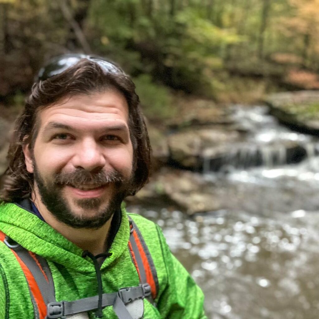
Shawn Gossman
Founder, Hiking with Shawn
Shawn Gossman, known regionally as Hiking with Shawn, is the founder and senior editor of this blog. Shawn has been hiking the Shawnee National Forest for over 15 years. Shawn is a Southern Illinois native and very active in the local tourism community. Learn more about Shawn here.