Hurricane Bluff Trail Guide

Have you hiked the Hurricane Bluff Trail near High Knob in the Shawnee National Forest, yet?
It’s a great 4ish-mile loop with plenty to see along the way and not too rugged.
In this guide, I’ll share everything you need to know about hiking the Hurricane Bluff Trail near High Knob in the Shawnee National Forest.
If you find this guide to be helpful, please consider giving me a one-time tip for all my efforts to create it and provide it for free. Your contribution will help me to create these free guides and videos, and I really appreciate it.
Hurricane Bluff Trail Snapshot
Important trail information that you should know:
- Location: High Knob Area in the Shawnee National Forest, Illinois
- Trail Length: 4.6 miles
- Elevation Gain: 450 feet
- Type: Lollipop Loop
- Average Time: 2 hours
- Difficulty: Moderate
- Pets Allowed: Yes (leash required)
- Restrooms: No
- Parking: Yes
- Road Conditions: Paved and gravel
- Best Seasons: Late Fall, Winter, and Early Spring
PRO TIP: This is a widely used equestrian trail. You will likely see horseback riders. Some groups may have loose dogs with them. Please yield to horseback riders as long as you can safely do so. Talk to the rider in a normal voice, as it will show the horse that you’re not a threat.
Why the Hurricane Bluff Trail is Worth Hiking
The Hurricane Bluff Trail is a great trail to hike for many different reasons.
This moderate hiking trail is around 4.6 miles long with a milder elevation gain, making it friendly for most types of hikers. The trail is mainly a loop with a little bit of out-and-back hiking from your vehicle to the start/finish of the loop. There is plenty to see along the way, including bluffs, old homesites, an old cemetery, and amazing scenic overlooks.
The Hurricane Bluff Trail would be ideal to visit during the fall color season and during leaf off, when you can see everything for miles.
Trail Map + Directions
You can find the trails within this loop on apps such as GAIA and OnX Hunt. However, there really isn’t any good app that shows the whole trail for following that doesn’t include longer segments.
To reach the trailhead for this hike (parking) from Harrisburg, Illinois:
- Take 145 from Harrisburg south to Mitchellsville.
- Turn east onto 34 at Mitchellsville.
- Drive Karbers Ridge and turn left onto Karbers Ridge Road.
- Drive to Karbers Ridge and turn left onto High Knob Road.
- Turn right onto Knob Hill Lane and SLOWLY drive through the High Knob Horse Camp.
- Go up to the hill until you see a small parking lot on your left, right before the High Knob Picnic Area sign.
NOTE: The road that goes through the camp is public. You do not need to get permission to use it. You should, however, drive slowly, as many people on horseback may be present. Please be safe and drive carefully.
You can also use this Google Maps Link to put in your address to the parking lot.
Most of the roads to the trailhead are paved until you reach High Knob Road. After that, the rest is gravel. Potholes and road erosion are present, so please drive carefully. Getting up the hill to the parking lot can be challenging for some vehicles.
The trailhead shouldn’t be used by equestrian trailers because it’s too small. Most will park down at the horse camp. The parking lot can fit around a half dozen vehicles. More parking is possible at the end of the road on top of the High Knob Overlook.
During wintry conditions, this parking lot and some roads leading to it may be impassible for vehicles that are not capable of driving in snow and ice.
Cell phone signal is commonly not available in this part of the Shawnee National Forest. If you use an app, make sure it has offline capabilities.
To hike the Hurricane Bluff Trail from the trailhead:
- Take the River to River Trail across the road from the parking lot for a short distance. The area to your right is private property. Please respect private property. The area to your left is Shawnee, including the two cabins.
- Pass the first cabin and turn left at the junction where the second cabin is.
- Hike to the open area and then up the bluff, going to your right on what the map calls Grindstaff Ridge Road.
- You’ll eventually get to a point where you can go straight, left, or right. We went right and followed what OnX Hunt calls FS 146, or the Snow Cone Trail.
- Take this loop for 3+ miles until you come back to the junction, and then retrace your steps back to where you parked.
Remember that this area is widely used by horseback riders. Please yield to riders and share the trail.

What You’ll See on the Hurricane Bluff Trail
The Hurricane Bluff Trail is the kind of trail that you’ll see something cool the entire time you’re hiking, for the most part.
With the first mile, you’ll see the old cabins (from at least the early 1900s but maybe even earlier than that). Some people go into them, but they are very unstable, and caution should be used. There are also unprotected deep wells around the cabins.
You’ll hike past the cabins and get to hike onto the bluffage in order to get to the junction where you need to turn right.
If you kept going straight on the old road, it would bring you to an old settlement area with an old structure and an old jeep. The structure is said to have been a snow cone stand long ago. The jeep is said to be a sunning spot of a very old and large timber rattlesnake.
If you remain on the Snow Cone Trail or the Hurricane Bluff Trail, you’ll enjoy a bit over 3 miles of rolling hills, beautiful forest scenes, and some scenic creeks.
You’ll also visit old homesites with an old chimney still intact (and nothing else), an old cemetery that is maintained by the horseback riding community, and a couple of amazing scenic overlooks that you definitely don’t want to miss.
If you take the loop clockwise instead, you can get to the overlooks quicker.
How Difficult is the Hurricane Bluff Hike?
Moderate.
For the most part, the worst of this hike is some rolling hills. However, there are a few small creek crossings. While they’ve been dry and easy to cross every time I visit, after a good, long rain, they could be slightly challenging. Some areas are rocky and can be slippery when wet.
Best Time to Hike the Hurricane Bluff Trail
Hurricane Bluff is a great hike all year round.
However, during the summer months, it could be problematic. This is when everything grows up, and the trail is harder to follow, ticks are out in full force, all the leaves on the trees make it hard to enjoy the overlook, and the area sees an increasement of venomous snakes, including copperhead and timber rattlesnakes.
I suggest visiting the Hurricane Bluff Trail during late fall, winter, and early spring.
Late fall should be perfect for fall colors. Winter is the best time to see everything for miles upon miles. Spring is when everything starts to wake up, and wild flowers are blooming.
But if you can handle the summer issues, in all honesty, this trail is beautiful and an adventure all year long.
What to Bring on This Trail
This is a moderately rugged hike. If day hiking, I recommend at least bringing:
- Comfortable clothing that breathes (no cotton)
- Durable hiking boots or shoes (hiking socks, too)
- Plenty of water and a snack (often no creek water to filter)
- First aid kit and emergency supplies
- Rain gear just in case
- Flashlight and headlamp, just in case
- Bug spray and sun block
It’s always recommended to at least carry the 10 essentials of hiking when enjoying the Shawnee National Forest and Southern Illinois hiking trails.

Safety Notes and Warnings
Like anywhere else in the Shawnee National Forest, the number one cause of injury and death is from falling. Please use caution around the tops of the bluffs and cliffs. Even on a dry day, loose dirt on the tops of bluffs can make the bluff slippery.
It’s best to use a GPS or app that doesn’t require a cell phone signal on this hike. There will be little to no cell phone signal present. You should also carry a charging device to help keep your devices charged.
Pay attention to the local weather forecast before and on the day of your hike. Our weather changes quickly here in Southern Illinois, and you want to be prepared. I advise you against visiting during unsafe weather conditions.
This is rattlesnake country. Encountering a venomous (and protected) timber rattlesnake is likely in this area during the warmer months. Please watch your step, do not attempt to harm the snake, and safely move around it to avoid any hazards.
Water is not always available in the creeks. Don’t depend on it for filtering when you visit. The trail is moderately rugged, and you’ll need to drink more, especially when it’s hot, so bring plenty of water with you.
Ticks, mosquitoes, and other biting bugs are present in this area. Use DEET and permethrin to ward off most of these pests. Make sure you check yourself thoroughly for ticks after you’re done hiking for the day.
During hunting season, this area is popular among hunters. Please use caution if visiting and remember to give hunters plenty of room to enjoy the area, since they only get a few weekends out of the year. You should wear blaze orange or pink when recreating during hunting season.
Photography Tips
The overlooks along the Hurricane Bluff Trail are ideal for photography.
Golden hour, sunset, and sunrise are going to be your best times to visit for photography.
Each season offers a different beautiful photo. Spring and summer offer a greener shot, fall gives you beautiful colors, and winter lets you see everything. This place is best used for photography all year round, in all honesty.
This isn’t a wilderness. Drones are permitted. You must have a commercial drone license to do any sort of commercial activity.
Nearby Trails to Hike
There are a lot of great hiking trails to enjoy in this particular area.
The High Knob Loop is 1-mile in length, and only hikers are allowed to use it. You can also enjoy the High Knob Overlook, which you can drive right up to. Fun fact: Michelle and I got married on top of High Knob.
The Rim Rock National Recreation Trail is also nearby and a fun trail system to hike. You can also visit Pounds Hollow Beach in that same area,
Garden of the Gods offers many things to do, and you could enjoy a backpacking trip along the Pea Gravel Overlook route.
Who is the Hurricane Bluff Trail Best For?
This trail is moderately difficult.
I would recommend only hikers who are used to moderately difficult trails to hike this route. If you’re not used to rugged terrain, this trail will be significantly challenging for you to complete.
Rattlesnakes might be present.
Please always make sure you hike with a friend and tell someone where you are going before you go.
What To Do Near the Hurricane Bluff Trail
For dining near this trail, check out Garden of the Gods Outpost Store, Trails End Bar and Grill at Double M Campground, and there are many great places to eat in Harrisburg, too.
For lodging in the area, check out Equality Hill House, Shawnee Forest Cabins and Rim Rock’s Dogwood Cabins. You can camp at Garden of the Gods, Pounds Hollow, and Camp Cadiz. Horse camping is allowed at Camp Cadiz, Double M Campground, and High Knob Campground.
The closest fuel is in Mitchellsville and Harrisburg. Harrisburg also has many places to shop.
Hiking with Shawn’s Final Thoughts About the Hurricane Bluff Trail
The Hurricane Bluff Trail is a fun trail to hike. As long as you watch your step and share the trail with horseback riders, you’ll love every minute of it. Tell your friends, family, and everyone to come visit and enjoy the Shawnee National Forest.
If you found this guide to be helpful, please consider supporting me by becoming a monthly Patreon Member while getting more.
Subscribe to my free monthly newsletter for more hiking tips, exclusive trail guides, and upcoming local events in and around the Shawnee National Forest.
Check out The Hiking Forum, which is an online community about hiking and backpacking with others all across the world.
And until next time, I’ll see you on the trail!
Watch the videos for this trail!
Below is a recent video that we filmed while enjoying this area.
Check out the trail gallery!
Enjoy these photos taken around this area!

Hurricane Bluff Trail Bluffage
Hurricane Bluff Trail Overlook
Old Cabin along the Trail
Old Homesite on the Trail
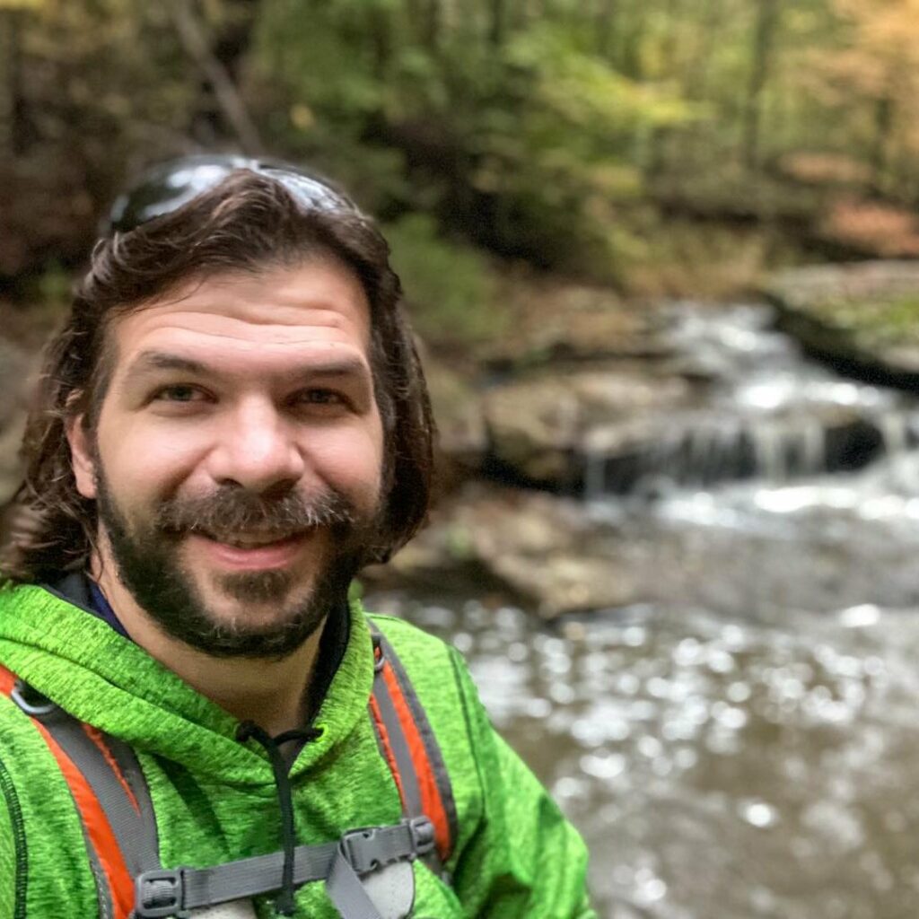
Shawn Gossman
Founder, Hiking with Shawn
Shawn Gossman, known regionally as Hiking with Shawn, is the founder and senior editor of this blog. Shawn has been hiking the Shawnee National Forest for over 15 years. Shawn is a Southern Illinois native and very active in the local tourism community. Learn more about Shawn here.