10 Shawnee National Forest Backpacking Loop Trails
Are you struggling to find good Shawnee National Forest backpacking loop trails?
There are more than 400 miles of trails in the Shawnee National Forest. It’s hard to determine what trails loop and which ones will have more to see. You almost want to pull your hair out and find your perfect backpacking loop.
Well, look no further because you’ve landed on the right website. I’ve been hiking and backpacking in the Shawnee National Forest for over a decade. And I’ve found some awesome Shawnee National Forest backpacking loop trails that I want to share with you today.
If you want to see 10 trails rated easy, moderate, or hard, keep reading this article, and thank you for visiting!
Easy Shawnee National Forest Backpacking Loop Trails
For beginners, it’s best to choose an easier Shawnee National Forest backpacking loop to train on.
You want to ensure you bring the right gear, wear the right clothes, and use the right hiking techniques. If you make mistakes, it’s best to make them on easier backpacking trails so it isn’t as problematic as harder trails will likely be.
So here are a few easier backpacking loop trails that you’ll enjoy as a beginner or if you just want a quick overnight trip for the weekend.
1 – Indian Point Loop at Garden of the Gods
This is a short beginner trail with a lot to see with bluffs, shelter caves, and amazing scenic overlooks of the wilderness area and southern Illinois backcountry.
This trail is around 2 miles in length. A few rolling hills and rocky terrains are on portions of the trail. There are no major creek crossings.
This short trail is excellent for training and skill-building for bigger backpacking trips. Plus, there is a lot to see on this loop. Camping is allowed and free. Overnight parking is allowed and free at the Backpacker’s/Indian Point trailhead.
This is a part of the wilderness area. No bicycles or motorized vehicles are allowed. Venomous copperhead and timber rattlesnakes occur in this area. Poison ivy, ticks, and mosquitoes may be present. Please use caution around the edge of bluffs and rocky areas.
Resources: Forest Service Information | My Trail Guide | All Trails Route
2- Bald Knob Trail at Bald Knob Wilderness
This remote trail is short and sweet, and you’ll often have the place all to yourself during most seasons.
This trail is around 2 miles in length. It goes up to Bald Knob Cross, so you can expect higher elevation. There are creek crossings present, but typically the creeks are dry unless we have major flooding.
The creeks are some of the best parts of this particular loop. They’re great for rockhounding and fossil hunting. The trail goes to the top of Bald Knob, where you can view the Bald Knob Cross. Camping is allowed (and free) in the wilderness area.
This is a part of the wilderness area. No bicycles or motorized vehicles are allowed. Venomous copperhead and timber rattlesnakes occur in this area. Poison ivy, ticks, and mosquitoes may be present. Please use caution around the edge of bluffs and rocky areas.
Resources: Forest Service Information | My Trail Guide | All Trails Route
3 – Red Cedar Trail at Giant City State Park
This is a longer loop trail located at Giant City State Park, and it is ideal for training thru-hikes and bigger backpacking trips.
The trail is about 12 miles in length. Some rolling hills, road and creek crossings, and rocky terrains are along the trail. If really wet, the creeks could be difficult to cross in areas.
There is a lot to see along this trail. There are bluffs, natural shelters, waterfalls, and many different kinds of forested areas. There is a primitive campground in the middle (no water or electricity) with picnic tables, fire pits, and vault toilets. Camping permits can be purchased for $8 from the Visitor Center or the Main Campground.
This is more rugged than other trails in the park. Venomous copperhead snakes do occur here. Poison ivy, ticks, and mosquitoes may be present. Please use caution around the bluffs, rocky areas, and creeks.
Resources: IDNR Information | My Trail Guide | All Trails Route
Moderate Shawnee National Forest Backpacking Loop Trails
These Shawnee National Forest backpacking loop trails are a bit more moderate in difficulty than the easier ones listed above.
You shouldn’t try these loops unless you have some basic experience on easier trails. You’ll typically need more gear on these hikes, and if you encounter a problem, you might have issues dealing with them.
Here are a few moderate loops to consider for backpacking when you’re ready for this type of difficulty.
4 – Garden of the Gods Backdoor Loop #1
Backdoor loop #1 combines existing trails within the Garden of the Gods areas.
This trail is about 10 miles in length. There are many rolling hills, creek crossings, and rocky terrain sections. A lot of this loop is shared with horseback riders, and the trail conditions can be very muddy when wet.
There is much to see on this loop, including bluffs, natural shelters, rock formations, arches, and scenic overlooks. Many of these trails are within the Garden of the Gods Wilderness, so that you can camp for free. Parking is available are Golden Circle Trailhead or the Backpacker’s Parking Lot for Indian Point Trail.
This is a part of the wilderness area. No bicycles or motorized vehicles are allowed. Venomous copperhead and timber rattlesnakes occur in this area. Poison ivy, ticks, and mosquitoes may be present. Please use caution around the edge of bluffs and rocky areas.
Resources: Forest Service Information | My Trail Guide | All Trails Route
5 – Garden of the Gods Backdoor Loop #2
The Backdoor Loop #2 is another Shawnee National Forest backpacking loop like the backpacking loop #1 trail, but it adds some additional miles to it.
The length of this alternative trail is 13 miles. There are many rolling hills, creek crossings, and rocky terrain sections. A lot of this loop is shared with horseback riders, and the trail conditions can be very muddy when wet.
There is much to see on this loop, including bluffs, natural shelters, rock formations, arches, and scenic overlooks. Many of these trails are within the Garden of the Gods Wilderness, so that you can camp for free. Parking is available are Golden Circle Trailhead or the Backpacker’s Parking Lot for Indian Point Trail.
This is a part of the wilderness area. No bicycles or motorized vehicles are allowed. Venomous copperhead and timber rattlesnakes occur in this area. Poison ivy, ticks, and mosquitoes may be present. Please use caution around the edge of bluffs and rocky areas.
Resources: Forest Service Information | My Trail Guide | All Trails Route
6 – Trail 049 near Jackson Falls
Trail 049 is a Hiking with Shawn favorite and a wonderful loop that takes you through many different areas of the Shawnee National Forest.
This trail is about 10 miles in length. There are rolling hills, rocky terrains, and creek crossings. During heavy rain, the creek many impassible. Horseback riders share this trail, and mountain bikers are known to use it, too.
There is a lot to see along this trail. You’ll see some of the Jackson Hollow Ecological Area, Millstone Lake, and Jackson Falls. The best area to camp will be at Jackson Falls, which is free. Overnight parking is free and permitted at East Trigg, Millstone Lake, or Jackson Falls – pending where you wish to start.
Venomous copperhead snakes occur in this area. Poison ivy, ticks, and mosquitoes may be present. Please use caution around the edge of bluffs, creeks, and rocky areas.
Resources: Forest Service Information | My Trail Guide | All Trails Route
Hard Shawnee National Forest Backpacking Loop Trails
These trails are harder and considered rugged difficulty. Only expert hikers should consider these Shawnee National Forest backpacking loop trails.
If you get into a situation where you need help, you may be on your own. Rescue could take hours to even more than a day to reach you. Please exercise caution when doing any of these routes.
You can easily access all of these route maps by downloading Avenza and getting the Shawnee Multi-Day hiking route bundle.
7 – Tour of the Lusk Creek Wilderness
This route gives you almost a full tour of the Lusk Creek Wilderness, the largest wilderness area in the Shawnee National Forest.
This loop is 24 miles in length and is rugged. You can expect creek crossings (including Lusk Creek), rolling hills, muddy areas, and rocky terrain sections. These trails are shared with horseback riders. It is a popular equestrian riding area.
There is a lot to see along this Shawnee National Forest backpacking loop. You’ll see amazing bluffs, scenic views of Lusk Creek, rock formations, natural arches, overlooks, and many other natural wonders. Overnight parking is allowed at the Lusk Creek Trailhead; free camping is also allowed since it’s wilderness.
This is a part of the wilderness area. No bicycles or motorized vehicles are allowed. Venomous copperhead and timber rattlesnakes occur in this area. Poison ivy, ticks, and mosquitoes may be present. Please use caution around the edge of bluffs and rocky areas.
Resources: Forest Service Information | My Trail Guide | Avenza Route
8 – Tour of the Shawnee National Forest in Ozark
This is a longer version of the Trail 049 hike; added areas to explore, but many more rugged miles added to the loop.
This loop is nearly 23 miles in length. You can expect creek crossings (impassible during high water), rolling hills, and rugged terrain. Most of this loop is shared by horseback riders.
There is a lot to see on this route. You’ll enjoy Jackson Hollow, Sand Cave, Jackson Falls, Millstone Lake, and other areas around the Ozark sections. Camping is permitted and best done around Jackson Falls. There are numerous places for parking, including East Trigg and Jackson Falls.
Venomous copperhead snakes occur in this area. Poison ivy, ticks, and mosquitoes may be present. Please use caution around the edge of bluffs, creeks, and rocky areas.
Resources: Forest Service Information | My Trail Guide | Avenza Route
9 – Tour of the Wilderness Areas and a Beautiful Creek
On this route, you can hike into two different wilderness areas and cross one of the most beautiful creeks in southern Illinois.
This loop is nearly 23 miles in length. There are some steep areas and very challenging rolling hills. You’ll have to cross a creek which may be impossible if we’ve had too much rain.
This loop goes through Bald Knob Wilderness and Clear Springs Wilderness. It also crosses Hutchins Creek, which is spring fed. During hotter weather, the creek provides pockets of cool water to wade, making it worth the hike.
This is a part of the wilderness area. No bicycles or motorized vehicles are allowed. Venomous copperhead and timber rattlesnakes occur in this area. Poison ivy, ticks, and mosquitoes may be present. Please use caution around the edge of bluffs and rocky areas.
Resources: Forest Service Information | My Trail Guide | Avenza Route
10 – Tour of One Horse Gap
Tour the One Horse Gap area to see amazing sights around the Shawnee National Forest.
This hike is about 21 miles in length. It is rugged, with rolling hills, rough terrain, and creek crossings. Horseback riders and mountain bikers share the area.
There is a lot to see in this area. Enjoy One Horse Gap, the Rocky Top overlook, the One Horse Gap Lake, and many more sights. Camping is available in this area. Overnight parking is available at the Benham Ridge Trailhead.
Venomous copperhead and timber rattlesnakes occur in this area. Poison ivy, ticks, and mosquitoes may be present. Please use caution around the edge of bluffs and rocky areas.
Resources: Forest Service Information | My Trail Guide | Avenza Route
These Shawnee National Forest backpacking loop trails should give you many ideas to start your backpacking adventures today. Just remember to always put safety first before all else. If you enjoyed this article, please share it and subscribe to my free monthly newsletter for more hiking and backpacking resources.
Please Support Hiking with Shawn
Alrighty folks, I hope you have enjoyed this content. I provide it for free and it takes a while to create. If you would be so kind enough to support my efforts, you can do so by sharing this post with others, especially on social media. Be sure to subscribe to my YouTube Channel to see my latest videos, shorts and live streams. Follow me on Facebook, Instagram, and Twitter for unique content that you will only find on those pages. You might also join my Southern Illinois Hiking & Outdoor Resources Group on Facebook, too!
You can also support me by becoming a Patreon Supporter for as little as $3/month and you can cancel anytime (no contracts or catches). Patreons get access to extra features, exclusive articles, sticker packs, gifts and more. Consider buying official Hiking with Shawn Merchandise as another way to support me. I spend a lot of money on Hiking with Shawn and because of extremely high public land permit fees, I make very little money in return so everything helps.
Thanks again for checking out another one of my articles and until next time, I’ll see you on the trail!
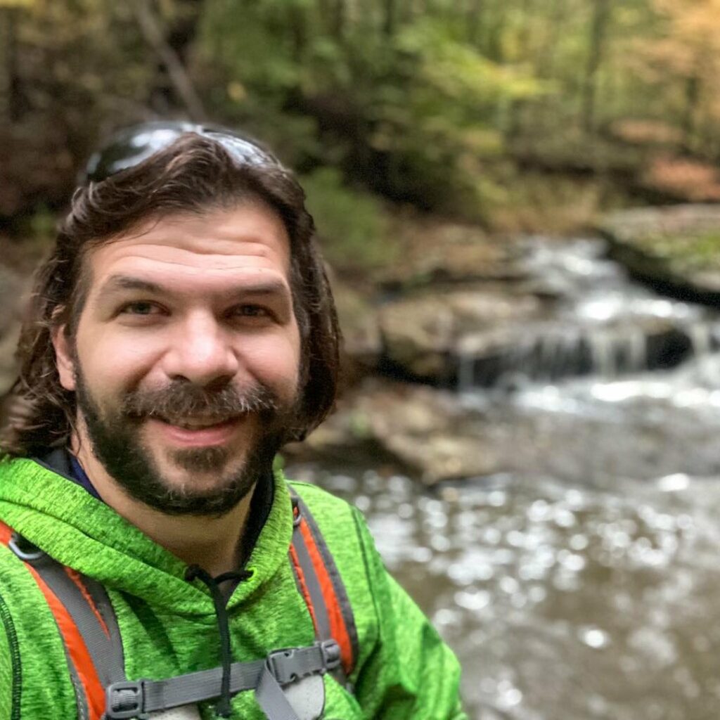
Shawn Gossman
Founder, Hiking with Shawn
Shawn Gossman, known regionally as Hiking with Shawn, is the founder and senior editor of this blog. Shawn has been hiking the Shawnee National Forest for over 15 years. Shawn is a Southern Illinois native and very active in the local tourism community. Learn more about Shawn here.