Golden Circle Trail Guide
A 1.5-mile Hiking Trail located in the Shawnee National Forest in Southern Illinois.

The Golden Circle Trail is a 1.5-mile lollipop loop starting from the Golden Circle Trailhead in the Shawnee National Forest near Herod, Illinois.
This trail is moderate but easier than most moderate trails in the Shawnee National Forest.
I created this guide to tell you everything you need to know about hiking the Golden Circle Trail. It’s a great hike for the whole family, and there is a lot to see.
If you found this guide to be helpful and you’d like to support me for publishing it, please consider leaving me a small one-time donation.
Golden Circle Trail Snapshot
Important trail information that you should know:
- Location: Golden Circle Trailhead, Near Garden of the Gods
- Trail Length: 1.5 miles
- Elevation Gain: 230 feet
- Type: Lollipop Loop
- Average Time: 2 hours
- Difficulty: Moderate
- Pets Allowed: Yes (leash required)
- Restrooms: No
- Parking: Yes
- Road Conditions: Paved Roads, Gravel Trailhead
- Best Seasons: Late Fall, Winter, and Early Spring
PRO TIP: This is a widely used equestrian trail. You will likely see horseback riders. Some groups may have loose dogs with them. Please yield to horseback riders as long as you can safely do so. Talk to the rider in a normal voice, as it will show the horse that you’re not a threat.
Why the Golden Circle Trail is Worth Hiking
The Golden Circle Trail is a great trail for the whole family because it’s an easier and shorter hike to see a lot of cool features in that particular area of the Shawnee National Forest.
This is a moderate hiking trail that’s about 1.5 miles in length. There is very little elevation and no super steep sections on the hike. Along the way, you’ll see plenty of bluffs, rock banding, natural arches, and interesting cave shelters.
The Golden Circle Trail is best visited during early spring, late fall, and winter. During the warmer months and summer, you can expect overgrown portions of the trail and ticks, which may not be ideal for most hikers.
Trail Map + Directions
While this trail uses all designated trails, the Golden Circle Trail is not a designated loop. I created this loop to give a short and easy hike to the Golden Circle with some other things to see along the way.
You can find the trail system in apps such as OnX Hunt, Gaia, and Avenza, but the loop will not be called Golden Circle Trail.
To reach the trailhead for this hike (parking) from Harrisburg, Illinois:
- Take 145 from Harrisburg south to Mitchellsville.
- Turn east onto 34 at Mitchellsville.
- Drive to the Garden of the Gods Outpost General Store and turn left on Shawnee Forest Road.
- Drive past the Garden of the Gods entrance (on your left) and then look for the Golden Circle on your right.
- Turn onto Golden Circle Lane, but use caution as there is a big pothole at the start of the gravel road.
- Park by the sign where it says car parking.
The GPS Coordinates for Golden Circle Trailhead are 37°36’14.9″N 88°21’51.4″W.
NOTE: Please park as close as possible to the sign area. The size of this parking lot is large because it’s meant for horseback riders with trucks and trailers. Please make sure you share the trail and give trucks with trailers plenty of room to park.
You can also use this Google Maps Link to put in your address to the parking lot.
All of the roads are paved and smooth to the trailhead. The trailhead is gravel with potholes present.
During wintry conditions, this parking lot and some roads leading to it may be impassible for vehicles that are not capable of driving in snow and ice.
Cell phone signal is commonly not available in this part of the Shawnee National Forest. If you use an app, make sure it has offline capabilities.
To hike the Golden Circle Trail from the trailhead:
- Walk up the road past the sign.
- Look for the natural shelter on your left and take the trail that goes around the bluff.
- Go around the bluff.
- Take Trail 010 to the junction and turn right to stay on Trail 010.
- After you pass through the Golden Circle, turn right on the road and hike back to where you parked.
Remember that this area is widely used by horseback riders. Please yield to riders and share the trail.
What You’ll See on the Golden Circle Trail
You’ll see interesting sights and natural features the whole time you’re hiking the Golden Circle Trail.
At first, you’ll see the cool natural shelter right off the road. Once you’re on the trail, you’ll edge the bluffage and see interesting rock banding, natural shelters, and rock formations.
Once you get on Trail 010, it’s a nice walk in the woods for a little while.
Then you’ll start getting back into the bluffage to see more natural shelters and rock formations.
Once you reach the horse high line area, you’re at the Golden Circle. This is said to have once been a meeting place of the Knights of the Golden Circle, which were pro-Confederates during the US Civil War.
Golden Circle has a large arch you can hike under and a few neat natural windows.
Once you get back to the road and start heading back to where you parked, there is still some nice bluffage to look at along the way.

How Difficult is the Golden Circle Trail Hike?
I put moderate for this hike because there are a few hills (nothing too steep) and some creek crossings. As long as the area isn’t under a flood warning, the creek crossings shouldn’t be an issue.
Alternatively, you can hike up the road and right to the Golden Circle (less than 5 minutes of hiking) if you want to skip the trail and any hills or creek crossings.
Best Time to Hike the Golden Circle Trail
Personally, I could hike the Golden Circle Trail any time during the year.
However, during the summer months, it is difficult because parts are overgrown. The overgrown areas often have a lot of ticks, and we’ve encountered nymph ticks (seed ticks) in this area during the summer months.
Venomous copperhead and timber rattlesnakes do occur in this area, so please use caution and watch your step.
I suggest visiting the Golden Circle Trail during late fall, winter, and early spring.
What to Bring on This Trail
Since this is a shorter hike, I recommend bringing minimal gear with you, including:
- Comfortable clothing that breathes (no cotton)
- Durable hiking boots or shoes (hiking socks, too)
- Plenty of water and a snack
- First aid kit
- Rain gear just in case
- Flashlight and headlamp, just in case
- Bug spray and sun block
You don’t need every piece of the recommended 10 essentials of hiking, but you could bring them if you want to make it a habit of carrying that much gear.
Safety Notes and Warnings
The biggest reason people get hurt or die in the Shawnee National Forest is from falling off cliffs and bluffs. Please use extreme caution when you get around these dangerous areas. When they’re wet, they are super slick. When they’re dry, the dust on the rocks can still make them slick.
Use a phone app or a dedicated GPS, map, or compass when exploring this area. The phone app will need to have offline use, as there will be no signal in this area. Carry a phone charger and charging block with you, just in case you need to charge your phone.
It’s best to use a GPS or app that doesn’t require a cell phone signal on this hike. There will be little to no cell phone signal present. You should also carry a charging device to help keep your devices charged.
Check the local weather before visiting this area. Southern Illinois weather can change quickly on days with potential storms. Wear and pack appropriate gear for the type of weather you’ll be hiking in.
This is rattlesnake country. Encountering a venomous (and protected) timber rattlesnake is likely in this area during the warmer months. Please watch your step, do not attempt to harm the snake, and safely move around it to avoid any hazards.
Water is not always available in the creeks. Don’t depend on it for filtering when you visit. The trail is moderately rugged, and you’ll need to drink more, especially when it’s hot, so bring plenty of water with you.
Ticks, mosquitoes, and other biting bugs are present in this area. Use DEET and permethrin to ward off most of these pests. Make sure you check yourself thoroughly for ticks after you’re done hiking for the day.
During hunting season, this area is popular among hunters. Please use caution if visiting and remember to give hunters plenty of room to enjoy the area, since they only get a few weekends out of the year. You should wear blaze orange or pink when recreating during hunting season.
Always tell someone where you are going before you venture out to your hiking destination. If you go missing, someone can share your hiking route with emergency services.

Photography Tips
There are no real overlooks along this trail, but you can get on top of the Golden Circle and see a little bit of an overlook for fall color shots.
Golden hour, sunset, and sunrise are going to be your best times to visit for photography.
Each season offers a different beautiful photo. Spring and summer offer a greener shot, fall gives you beautiful colors, and winter lets you see everything. This place is best used for photography all year round, in all honesty.
This isn’t a wilderness. Drones are permitted. You must have a commercial drone license to do any sort of commercial activity.
Nearby Trails to Hike
There are a lot of great hiking trails to enjoy in this particular area.
We parked at Golden Circle for the Pea Gravel Overlook backpacking trip.
Garden of the Gods is close by, and you can enjoy multiple different trails there.
High Knob is also close by and features a fun 1-mile loop hike. Hurricane Bluff is also near High Knob and is a very nice hike.
Who is the Golden Circle Trail Best For?
This trail is moderately difficult.
Personally, I think this trail is best for anyone of any age or hiking difficulty level.
Rattlesnakes and copperheads are present.
Please always make sure you hike with a friend and tell someone where you are going before you go.
What To Do Near the Golden Circle Trail
For dining near this trail, check out Garden of the Gods Outpost Store, Trails End Bar and Grill at Double M Campground, and there are many great places to eat in Harrisburg, too.
For lodging in the area, check out Shawnee Forest Cabins and Rim Rock’s Dogwood Cabins. You can camp at Garden of the Gods, Pounds Hollow, and Camp Cadiz. Horse camping is allowed at Camp Cadiz, Double M Campground, and High Knob Campground.
The closest fuel is in Mitchellsville and Harrisburg. Harrisburg also has many places to shop.
Hiking with Shawn’s Final Thoughts About the Golden Circle Trail
The Golden Circle Trail is worth hiking multiple times a year. There is a lot to see on such a short hike. If you’re looking for something easy to hike but with a lot to see, then I definitely recommend this trail.
Just remember to watch your step and share the trail with any horse riders you may encounter.
If you found this guide to be helpful, please consider supporting me by becoming a monthly Patreon Member while getting more.
Subscribe to my free monthly newsletter for more hiking tips, exclusive trail guides, and upcoming local events in and around the Shawnee National Forest.
Check out The Hiking Forum, which is an online community about hiking and backpacking with others all across the world.
And until next time, I’ll see you on the trail!
Watch the videos for this trail!
Below is a recent video that we filmed while enjoying this area.
Check out the trail gallery!
Enjoy these photos taken around this area!
Golden Circle Arch and Window
Golden Circle Trail Cave Shelter

Golden Circle Trail Shelter
Rock Banding at Golden Circle
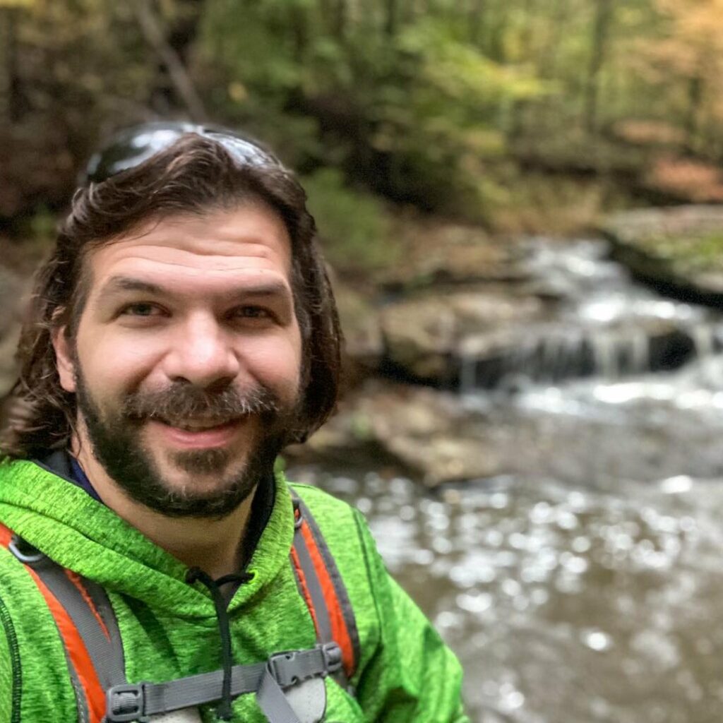
Shawn Gossman
Founder, Hiking with Shawn
Shawn Gossman, known regionally as Hiking with Shawn, is the founder and senior editor of this blog. Shawn has been hiking the Shawnee National Forest for over 15 years. Shawn is a Southern Illinois native and very active in the local tourism community. Learn more about Shawn here.